Alert
Alerts
Itinerant hiking : From Mijoux to Chézery-Forens via the Haute Chaîne du Jura
1 alert on this circuit
Alerte visiteurs
⚠️ Alerte sentier – Vieille Faucille ⚠️
Le chemin reste officiellement fermé.
Un amas de blocs et débris rocheux obstrue le passage à mi-parcours, en attente d’évacuation.
👉 Le sentier redevient praticable uniquement sous la responsabilité des randonneurs.
⚡ En cas d’orage, il est fortement déconseillé de circuler le long de la paroi rocheuse.
Merci de votre vigilance.


IGN cards


Description
Set off on a great adventure! A few days roaming the heights of the Jura, between Mijoux and Chézery-Forens, with just one aim: to make the most of every moment.
Set off on a tour of the Haut-Jura between Mijoux and Confort, through a varied landscape of coombs, peaks and forests. Over three days, you'll traverse the crests of the Jura, passing by the Grand Mont Rond, the Crêt de la Neige and the Reculet, with magnificent views of Mont Blanc and the Alps. This crossing plunges you into the heart of the Haute Chaîne du Jura, for an authentic experience in the heart of nature. This is a self-sufficient route, so don't forget to bring your own provisions to make the most of this adventure.
Good to know - Protected area
Part of the route passes through the Haute Chaîne du Jura National Nature Reserve, which is subject to special regulations:
Dogs are not allowed, even on a lead.
Camping in tents is prohibited.
Please respect these rules to preserve the richness of this exceptional environment.
Technical Information
Altimetric profile
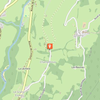
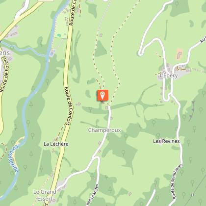
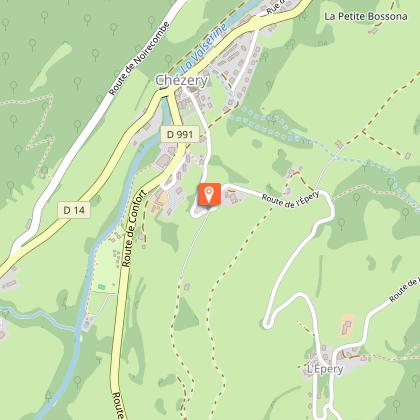
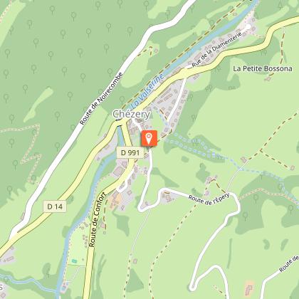
Starting point
Steps

Points of interest


Date and time
- From 01/04/2025 to 30/11/2035
- From 01/04/2026 to 30/11/2036
Additional information
Services for children
▶ Day 1: Mijoux → Refuge de la Loge
⏱ Approximately 6.5 hours – 8.4 miles – Elevation gain: 900 m / Elevation loss: 448 m
From Mijoux, with its typical narrow streets and murals, follow the GR9 (red and white markings) towards the Col de la Faucille. Turn right at the summer toboggan run, then climb towards Grand Mont Rond. Continue to Colomby de Gex, then descend to Col de Crozet and the Catheline cable car. Arrive at Refuge de la Loge, surrounded by nature.
▶ Day 2: Refuge de la Loge → Refuge du Gralet
⏱ Approx. 4.5 hours– 11.2 km – Elevation gain: 435 m / Elevation loss: 435 m
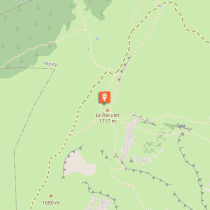
From the refuge, follow the signs for “Sous le Crêt.” After about 1.5 hours, you will reach the summit of Crêt de la Neige (1,720 m), the highest point in the Jura. The route, which is aerial and magnificent, then heads towards Reculet (1,719 m). As an option, an alternative route allows experienced hikers to reach the Grotte Marie du Jura. The trail continues through the woods to Refuge du Gralet, nestled in a forest setting.
▶ Day 3: Refuge du Gralet → Chézery-Forens
⏱ Approx. 4 hrs – 12.5 km – Elevation gain: 124 m / Elevation loss: 970 m
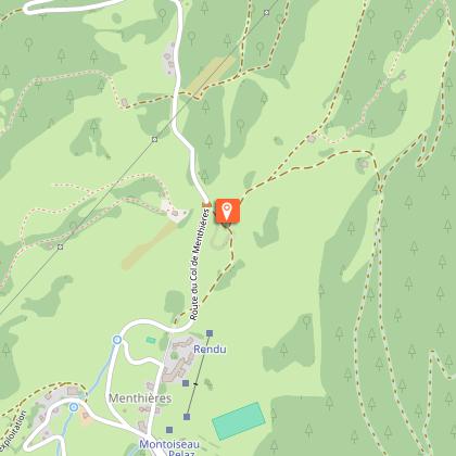
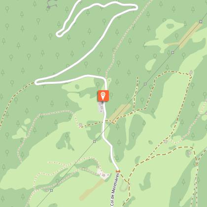
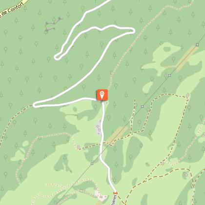
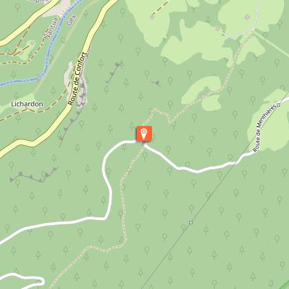
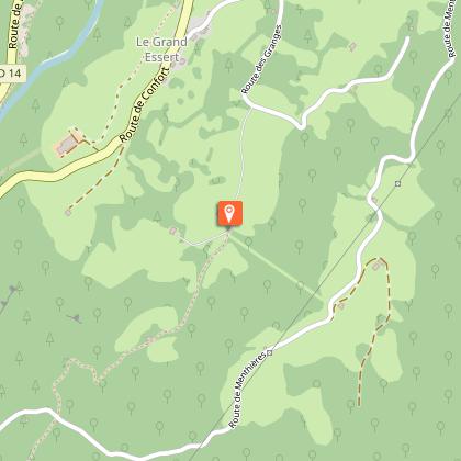
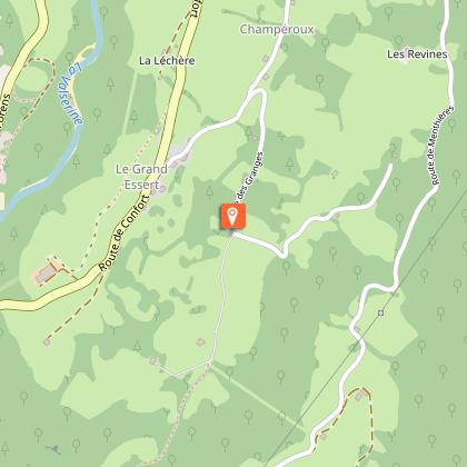
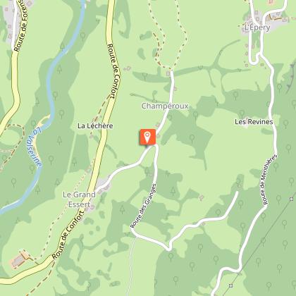
From Le Gralet, head towards La Poutouille through the undergrowth. Join the GR9 trail for 6 km, then begin the descent to Menthières (several variants possible). At the Col de Menthière, join the yellow PR trail towards Chez le Bon Claude and continue along the Grand Essert trail to Chézery-Forens.
Return transport
From Chézery-Forens, you can:
Return to Mijoux via the A53 highway
Or travel to Bellegarde-sur-Valserine to catch the train
Updated by
Office de Tourisme du Pays de Gex - 27/12/2025
www.paysdegex-montsjura.com
Report a problem
Environments
Near shuttle stop
Close to a public transportation
In a nature reserve
Presence of livestock and guard dogs
Open period
Closed temporarily.
Contact
Phone : 04 50 28 09 16
Website : https://www.paysdegex-montsjura.com
Topo guides and map references
Map references :
3328OT - CRÊT DE LA NEIGE
3327ET - MOREZ LES ROUSSES
Type of land
Stone
Hard coating (tar, cement, flooring)
Rock
Ground
Reception complements
▶ This route crosses the Haute Chaîne du Jura National Nature Reserve. Please respect the regulations.
The rules include the following:
Dogs are strictly forbidden, even on a lead.
Plant picking and mineral collecting are also prohibited.
▶ Before setting off :
Check the general and local weather forecast, and make sure there's no precipitation.
Find out about the approach route, the height of the itinerary, the time it will take to complete the climb, and any possible escapes (IGN map, GPS, topo-guide, etc.).
Evaluate possible risks by asking mountain professionals, mountain huts and gîtes.
Inform someone close to you of your objective, and contact them again in the event of any changes: departure and return times, number of participants with telephone numbers for each, vehicle(s), parking, etc.
Avoid setting off alone, and use equipment that is suitable for the activity, adjusted and in good condition: headlamp, complete first-aid kit, survival blanket, etc.
In the event of a problem, call 112 (European emergency number).
▶ The Patou or guard dog: what attitude should you adopt?
When out hiking, it's not uncommon to come across flocks of sheep or goats guarded by guard dogs known as patous. These dogs, formidable against predators such as wolves, bears and lynxes, can frighten hikers with their barking.
The patou protects flocks in total autonomy. Its main role is to deter intruders and alert the shepherd. Raised among the ewes from an early age, he learns to protect them at all times, often in groups.
▶ To avoid problems with a patou:
Identify grazing areas before setting off.
Keep your distance and go around flocks if possible.
In the event of an encounter, stay calm, turn back slowly or stop to let the dog sniff you out.
Don't try to pet or feed the animals, avoid sudden movements, don't run, and avoid taking photos.
▶ For runners:
Do not run when approaching a herd.
Take off your headphones to hear the dog's barking.
By adopting these behaviors, you'll be able to cohabit serenely with guard dogs on your hikes.
Animals
No. Dogs strictly forbidden.
Data author
