Alert
Alerts
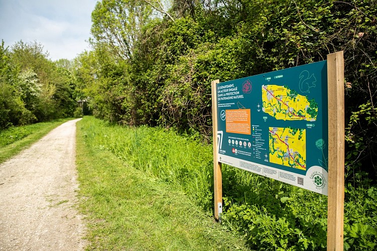
The Roses Path on foot


Description
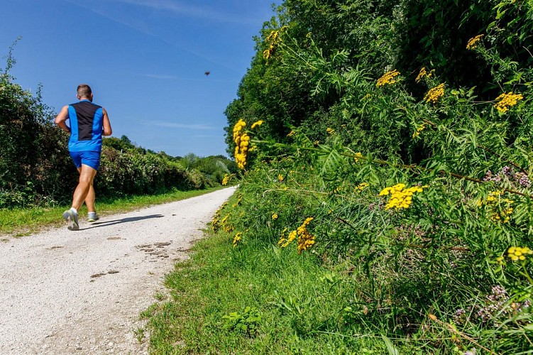
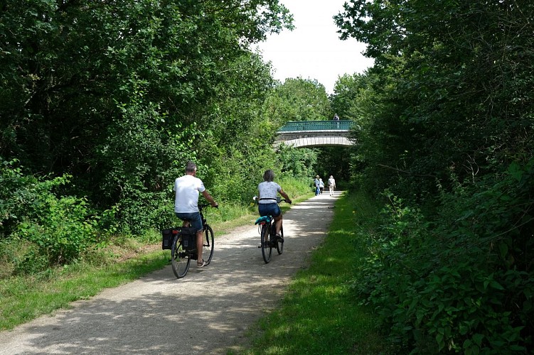
With a total length of 17 km, the roses path winds between the municipalities of Yèbles and Servon. It offers walkers, horse riders, and cyclists a space to walk along a railway track full of history.
The route corresponds to the old railway line that connected Paris-Bastille to Verneuil-l'Étang. The path owes its name to the "train des roses" which transported to Paris flowers produced in the surrounding villages. As a major part of the local economy in the last century, it played a key role in the development of a regional specialty: rose cultivation.
The old railway line, which has become a walking path, runs through mainly peri-urban and agricultural areas. Its interest lies above all in the quality of the landscape (the Yerres Valley and the Brie-Comte-Robert plateau), its accessibility for leisure activities (walking and cycling), and its important role as an ecological corridor (areas where living beings can move or spread in such a way as to be able to feed, and reproduce).
Description of the route :
1. With your back to Yèbles cemetery, turn left. At the guard house, turn left and take the Chemin des Roses.
2. After just over 3 km, turn right, then left to cross the high-speed railway. Then continue left and right.
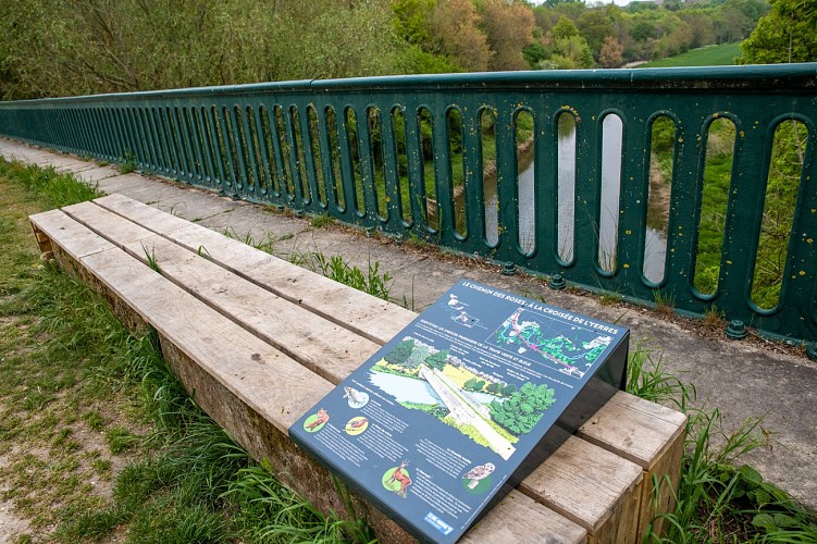
3. Cross the Yerres viaduct in Solers and enjoy the view. Built at the end of the 19th century and opened in 1892, this three-arch bridge is sadly known for a railway disaster that happened on August 10, 1918.
4. On your right, you will pass the old train station of Coubert-Soignolles, where cut roses from local growers were collected and sent by train to Les Halles de Paris.
5. At the old train station of Grisy, on your right, discover the Rose Museum, which brings to life the history of the 250 rose growers who helped make the region known as the “Land of Roses".
6. On your left, you will find the old train station of Brie-Comte-Robert, which now houses the headquarters of the Community of Communes of l'Orée de la Brie.
7. For about 1 km, the Roses Path becomes a cycle path in an urban area. Then continue your way towards Servon.
Beyond the arrival point at Servon, it is possible, at least in part, to continue your hike in the Val-de-Marne Department by the green way known as "Végétale" greenway currently being developed : lavegetale.fr/
Municipalities crossed : Yèbles, Solers, Soignolles-en-Brie, Coubert, Grisy-Suisnes, Brie-Comte-Robert and Servon.
Distance : 17,7 km
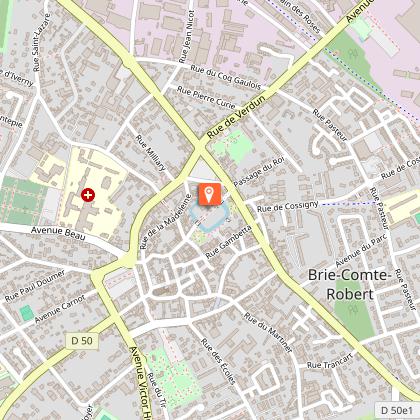
Access to the map : www.cirkwi.com/fr/circuit/580250-le-chemin-des-roses
Technical Information
Altimetric profile
Starting point
Points of interest


Additional information
Environments
In the country
Updated by
Communauté de Communes Brie des Rivières et Châteaux - 18/05/2026
www.briedesrivieresetchateaux.fr
Report a problem
Open period
All year round daily.
Contact
Phone : 01 64 14 77 77
Website : https://www.seine-et-marne.fr/fr/annuaire-lieu/ens-le-chemin-des-roses
Facebook : https://www.facebook.com/departementdeseineetmarne
