Alert
Alerts
Type of practice
Walking
Easy
2h30mn
Mountainbiking
Easy
50mn
Presentation
Description
Map
Points of interest
Ratings and reviews
See around
Sentier de la Mazelle


Description
Hiking in Beaune-les-Mines on the outskirts of Limoges. Discover the town's heritage with its century-old lime tree and the Mazelle water reservoir. This is one of Limoges' 4 drinking water reservoirs.
Technical Information
Walking
Difficulty
Easy
Duration
2h30mn
Dist.
9 km
Type of practice
Walking
Easy
2h30mn
Mountainbiking
Easy
50mn
Show more
Altimetric profile
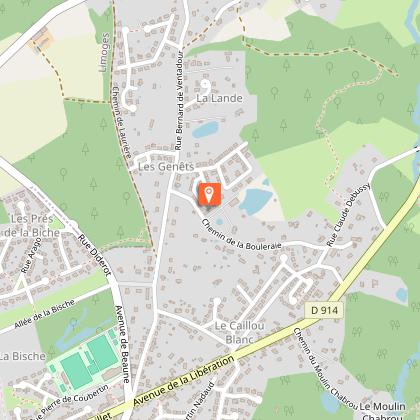
Starting point
Beaune-les-Mines
,
87280
LIMOGES
Lat : 45.9140739Lng : 1.30293739
Points of interest


Additional information
Contact
Web site (URL) : www.visitlimousin.com
Balisage
Yellow
Typologie de l'itinéraire
Loop
Thèmes
Natural
Data author

proposed by
SPL Terres de Limousin
Ratings and reviews
To see around