Alert
Alerts
Rocks
IGN cards


Description
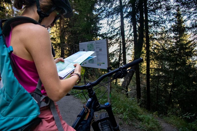
This intermediate-level route follows a moderately wide, moderately steep track. It runs through the forest and links up with other itineraries.
You can reach Les Roches either from the green Les Légendes circuit or from the red Carreley. This route can be taken in either direction. It allows you to reach different itineraries without having to take the road.
Technical Information
Altimetric profile
Starting point
Additional information
Updated by
Office de tourisme Intercommunal Cœur de Maurienne - 17/11/2025
drone-de-regard.fr/vr/mcm-2/saint-jean/
Report a problem
Open period
All year round daily.
Subject to favorable weather.
Contact
Phone : 04 79 59 30 48
Topo guides and map references
Topo guides references :
Map of the Albiez Enduro Park.
Available free of charge from the valley's tourist offices.
Map references :
IGN map no. 3435ETR: Valloire - Aiguilles d'Arves/Col du Galibier
Reception complements
- To ride this route in complete safety, you'll need a suitable enduro mountain bike, helmet and gloves.
- This itinerary is also used by hikers, so please be vigilant and courteous with them.
Animals
No
Data author
