Alert
Alerts
Hike: on the steps of the WW2 French resistance.


IGN cards


Description
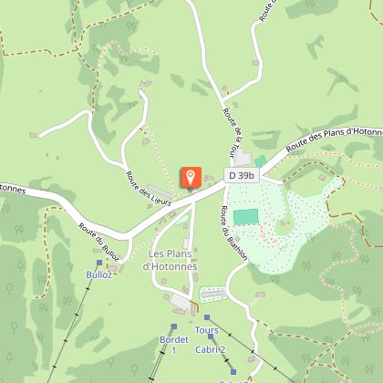
Thematic trail on the Plateau de Retord, in the footsteps of the first maquisards of the Ain, starting from the Les Plans station or the village of Hotonnes.
Trails retracing the history of the first resistance camps on the Plateau de Retord: training and supervising the Maquis, Maquisards with multinational origins, the Interallied Mission "Musc" and the repressive operations February - July 1944.
Several points of interest along the route: the Porte du Maquis, the Ferme de Deschapoux, the Ferme des Combettes, the Ferme de Morez, the Combe Danoi, the Ferme de Pré Carré, the Croix des Lagnieux and the Ferme du Sèche.
Information panels retracing the history of these points of interest can be found along the route.
This thematic trail was created in partnership with the Departmental Museum of the History of the Resistance and Deportation in Nantua.
This hike can be downloaded on the free app Ain Outdoor.
Technical Information
Altimetric profile
Starting point
Additional information
Environments
Mountain view
Forest location
Village centre
Updated by
Office de Tourisme Bugey Sud Grand Colombier - 04/12/2025
www.bugeysud-tourisme.fr
Report a problem
Open period
All year round.
Subject to favorable weather.
Contact
Phone :
04 79 81 29 06
04 79 87 51 04
Email : contact@bugeysud-tourisme.fr
Website :
http://www.bugeysud-tourisme.fr
https://ain-outdoor.com/fr/tour/randonnee/sentier-nature-sentier-du-maquis/59043948/
Type of land
Ground
Animals
Yes

