Alert
Alerts
Hiking to Graydon by the cable car


Description
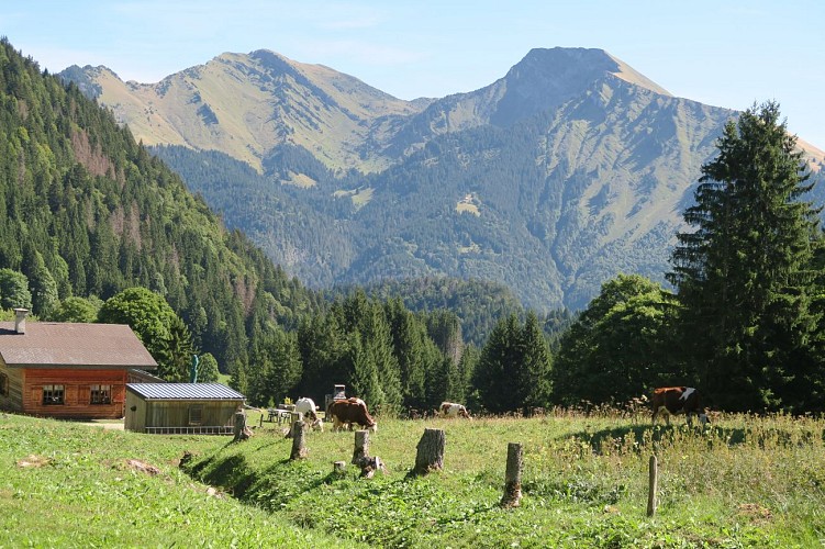
Take the Roc d'Enfer gondola up to the Graydon mountain pasture and chapel. You'll then travel through peaceful surroundings, past gentian trees and grazing cows, against a backdrop of Mont Blanc...
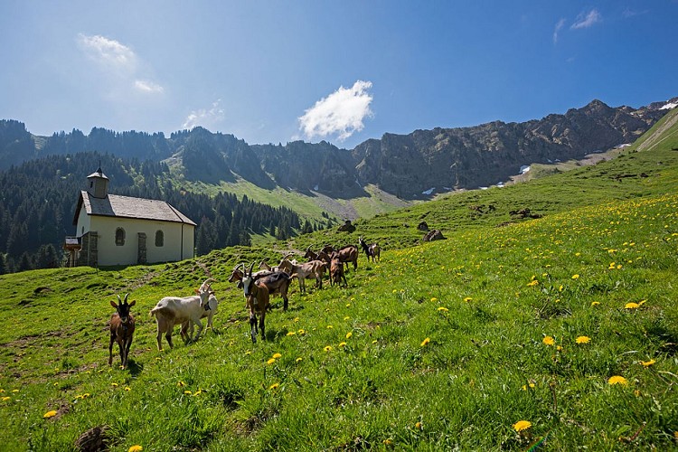
The Alpage de Graydon lies at the foot of the majestic Roc d'Enfer, with cows and goats grazing peacefully on the rich grass around the small chapel surrounded by a magnificent combe.
Technical Information
Altimetric profile
Starting point
Points of interest
Date and time
- From 08/07/2027 to 25/08/2027 from 10:00 to 17:00
Additional information
Open period
From 07/01 to 08/31 : open daily.
Updated by
Vallée d'Aulps Tourisme - 14/10/2026
www.valleedaulps.com
Report a problem
Contact
Phone : 04 50 79 65 09
Email : info@valleedaulps.com
Website : https://www.valleedaulps.com
Facebook : https://www.facebook.com/valleedaulpstourisme
Location complements
Access by car from Thonon via the D902 to the village of Saint Jean d'Aulps, then the D293A to the resort.
Topo guides and map references
Map references :
Map: IGN Top 25, 3528 ET, Morzine
Type of land
Stone
Ground
Grit
Suitable for all terrain strollers
Environments
Mountain view
Mountain location
Guidebook with maps/step-by-step
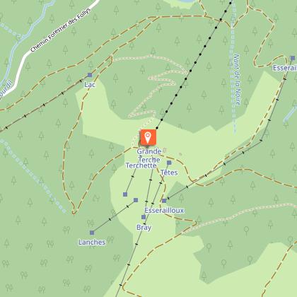
> Parking at the bottom of la Grande Terche gondola.
1/ Take the gondola lift.
2/ At the top of the gondola, turn left to consult the directional sign. Follow the signs for Joranloup and follow the forest track to Les Plénays.
3/ At les Plénays turn right to continue down the forest track towards Graydon. Reach the "Le Cornet" sign.
4/ At Les Cornets continue straight on towards Graydon (Combe de Graydon and chapel in view).
5/ Once you've had a good look around, retrace your steps back to Le Cornet.
6/ From Le Cornet, turn right to start the descent towards Saint-Jean-d'Aulps Station. See practical information for alternative route. Reach Les Adrets.
7/ Continue down the forest track towards Saint-Jean-d'Aulps Station. . At the end, it reaches Route de la Valletaz at Plans Morets.
8/ Turn right down the asphalt road. Cross the bridge and take the path on the right.
9/ Continue down the path to the next junction and turn left to go up to the road.
10/ Go down on the road for 600m et take the path on the left before to crossing Route de la Moussière.
11/ Cross the bridge, go upstairs to the road and reach the parking area by the road.
Animals
Yes
