The Heights of Maladène
Description
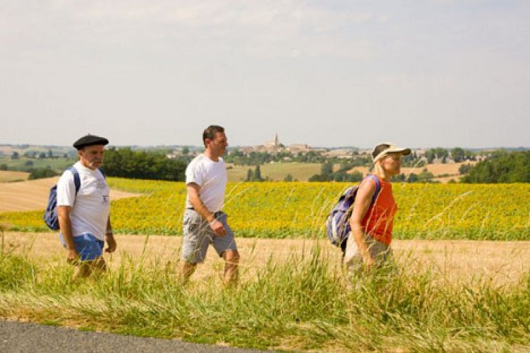
The 14 kilometres of the Heights of Maladène loop will allow you to discover the magnificent landscapes of Salvagnac: woods, agricultural areas, traditional farms, forest paths....
The 14 kilometres of the Heights of Maladène loop will take you through the magnificent landscapes of Salvagnac. You will be able to admire the succession of woods and agricultural areas through the paths alongside the traditional stone farms and then the forest paths. On reaching the heights of Sivens, the Tescou valley is particularly noteworthy for its magnificent views.
Technical informations
14 km
|
max. 265 m
min. 153 m
254 m
| |||
Public : Reserved for experts/confirmed | ||||
Altimetric profile
Starting point
Additional information
Updated by
Office de Tourisme La Toscane Occitane - 12/04/2024
www.la-toscane-occitane.com/
Report a problem
Contact
Phone : 0 805 400 828
Email : info@latoscaneoccitane.com
Website : www.la-toscane-occitane.com
Topo guides and map references
Topo guides references :
RandoTarn Sheet for sale in all Tourist Information Offices in la Toscane Occitane: 0.50€ each / 7€ for the box.
