The Monks' Path
Description
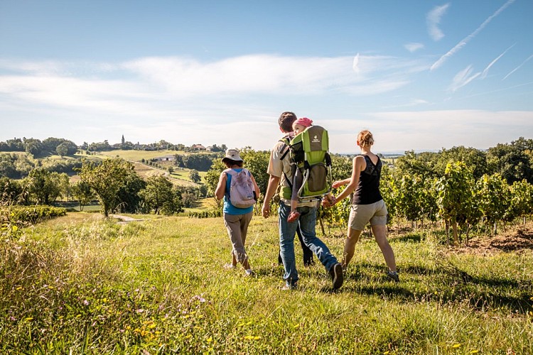
On the stony plateau, the old monks' path crosses a subtle landscape. Crops, groves, vines, paths and traditional buildings make up the harmonious and luminous assembly of a small-scale landscape.
A monastic path:
Clearing a formerly forested Tarn revealed not only rich land but also almost barren places called "èrm" (wasteland). Like Herm, near Mouysset. Who cleared the land? The monks, for the most part. The monastery of Hauterive (near Castres) was one of the first in Gaul to apply the rule of Saint Benoit. Although this rule recommended that monks should not "spread out into the open", they quickly deviated from it to gain land in the forest and cultivate it. The monks of the Abbey of Bonnecombe, in Rouergue, cultivated around their barn in Bernac (south of Castanet) and used, for six centuries, the famous "Chemin des Moines" to transport aniseed, cereals, coriander, pastel and saffron.
Technical informations
16 km
|
max. 309 m
min. 185 m
366 m
| |||
Altimetric profile
Starting point
Additional information
Contact
Phone : 05 63 47 73 06
Email : tarn@ffrandonnee.fr
Website :
www.randonnee-tarn.com
www.tourisme-tarn.com/a-voir-a-faire/balades-et-randonnees/trouver-une-randonnee
Open period
All year round.
Updated by
Tarn Tourisme - 24/10/2023
www.tourisme-tarn.com
Report a problem
Data author
