Alert
Alerts
Equestrian loop around the Gâtinais
Description
Riding through forests and fields, explore the Gâtinais region and its authentic villages. For your stops, choose between shady woods or cool history-steeped churches.
But do be careful crossing the back and secondary roads.
This loop is well-suited to amateur riders, but you can also contact the area’s equestrian centres.
Technical Information
Altimetric profile
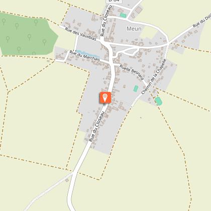
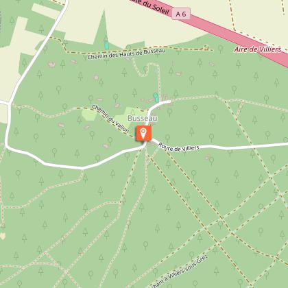
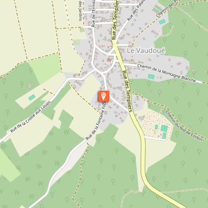
Starting point
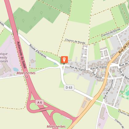
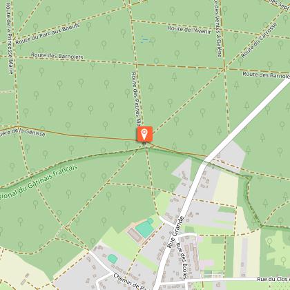
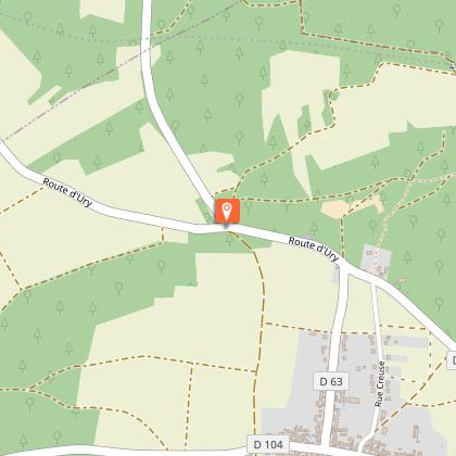
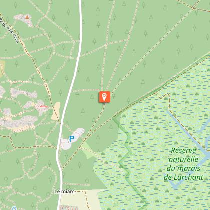
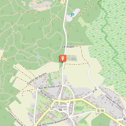
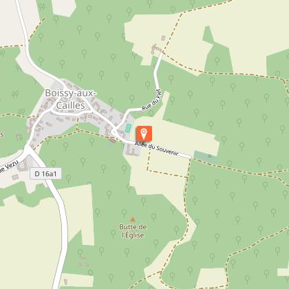
Steps


Additional information
Updated by
Seine et Marne Attractivité - 07/05/2026
www.tourisme-seine-et-marne.fr/
Report a problem
Tips
Safety instructions and good practices:
- Respect the French highway code and remain vigilant on and near all roads, particularly at intersections and when crossing départementales (secondary roads) and passing over bridges. To that end, carefully read the guide provided for each itinerary.
- Wear a properly fitting helmet. At night and in bad weather, wear a fluorescent vest with reflective bands and carry a proper torch/flashlight.
- Restrictions for children under 12: make sure that the loop you want to follow is well suited to your children.
- After every picnic, leave no trash behind, and respect the wild flora and fauna.
- Prior to departure, make sure that your smartphone or tablet is sufficiently charged. Consider taking along a charger.
- For the equestrian loops, don’t hesitate to call upon a professional.
- If you happen to notice any anomaly while following an itinerary, please don’t hesitate to write us! We value all such observations and remarks.
Open period
All year round.
Contact
Phone : 01 60 39 60 39
Email : info@attractivite77.fr
Website :
https://baladnature77.cirkwi.com/#!page=circuit&id=56578&langue=fr
https://www.tourisme-seine-et-marne.fr/
Facebook : https://www.facebook.com/77VivreEnGrand
Data author

The Cirkwi brief
Embarking on a journey through the picturesque landscapes of Gâtinais, this equestrian trail weaves a path of tranquility between forest and field, touching the heart of traditional Gâtinais villages. With history peeking from the shade of ancient woods and venerable churches, this ride promises a serene exploration. Crafted by Seine et Marne Attractivité, the route serves as a bridge connecting riders with the subtle beauty of Gâtinais' natura and heritage. Feel the gentle rhythm of the horseback, a serene cadence that guides you through a tapestry of green and history, where each step reveals a story.
Key Stats: Equestrian Adventure Awaits
Spanning over 42.3 kilometers and featuring a variety of terrains, this equestrian trail offers a moderate challenge with its elevation range from 66 to 130 meters. The ascent totals an impressive 461,458 meters, indicating several slopes that add to the trail's diversity. Suitable for amateur riders, the path emphasizes the importance of vigilance at road crossings and suggests collaboration with local equestrian centers for an optimized experience.
Seasonal Tips for Gâtinais Riders
As you plan your equestrian journey through Gâtinais, bear in mind the changing seasons. Spring and early fall are idyllic, offering mild temperatures and the colorful spectacle of nature’s transitions. During summer, early morning rides are preferable to avoid the midday heat. Ensure you have adequate water for both rider and horse, especially in warmer months. Winter offers its own stark beauty, though paths may be less accessible. Always check local weather conditions, and remember safety gear, including reflective vests for road crossings.
Gâtinais Through the Ages
Gâtinais, a region steeped in history, is renowned for its cultural and historical significance within the Seine-et-Marne department. From its lush forests to the traditional architecture of its villages, the area offers a living mosaic of France’s heritage. The route, nestled in this rich tapestry, not only offers a physical journey but also a voyage through time, showcasing remnants of the past that have shaped the local identity. This equestrian trail serves as a testament to the enduring allure of Gâtinais, inviting exploration of its picturesque landscapes and storied past.
Climate Guide for Gâtinais Visitors
Gâtinais enjoys a temperate climate, characteristic of the transitional zone between oceanic and continental influences. Summers are generally warm but not excessively hot, making it a pleasant season for riding, with occasional rainfall. Winters are mild, though cold snaps can occur. The best times to visit for equestrian activities are late spring through early fall when weather conditions are most favorable. Always consult a local weather forecast ahead of your trip to ensure optimal conditions for your equestrian adventure.