Alert
Alerts
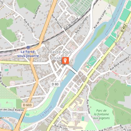
From La Ferté-sous-Jouarre to Nanteuil-Saâcy
Description
Splendid panoramic views of the Marne River.
Admire remarkable views of the majestic Marne and discover the wine country of an AOC champagne, dotted with ancient villages steeped in history and heritage.
This loop follows the Marne River, affording lovely panoramic perspectives.
Technical Information
Altimetric profile
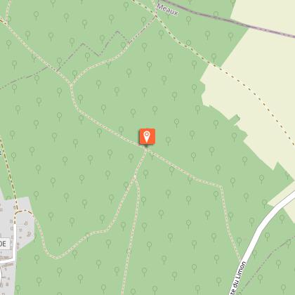
Starting point
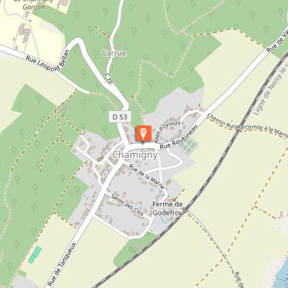
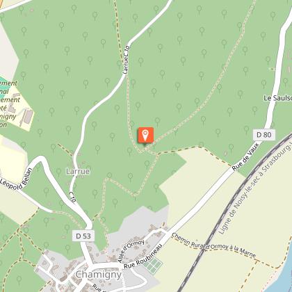
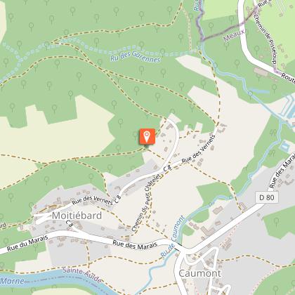
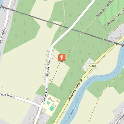
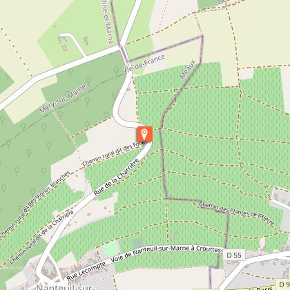
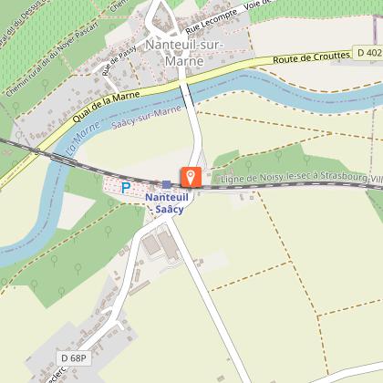
Steps

Additional information
Updated by
Seine et Marne Attractivité - 24/02/2026
www.tourisme-seine-et-marne.fr/
Report a problem
Tips
Safety instructions and good practices: - Respect the French highway code at all times and in all locations and remain courteous and polite with those you meet along the way. - Remain vigilant during the entirety of your outing. Don’t stray from the paths and trails, respect private properties, and carefully cross all streets and roads. Carefully follow the instructions and directions provided for each itinerary. - Respect the area’s flora and fauna, and leave no waste or trash behind. - Prior to departure, make sure that your smartphone or tablet is sufficiently charged. - When preparing your walk or hike, consider the level of difficulty for your chosen loop (especially if you’re bringing along children). - Prior to setting out, consult the weather forecast and remember to wear comfortable walking shoes or hiking boots, rainwear, a cap, sunscreen and sunglasses (depending on the season), a first-aid kit, a snack and water to drink during your outing. Also consider bringing along binoculars and a camera. - If you happen to notice any anomaly while following an itinerary, please don’t hesitate to write us! We value all such observations and remarks.
Open period
All year round.
Contact
Phone : 01 60 39 60 69
Email : seine-et-marne@ffrandonnee.fr
Website :
https://baladnature77.cirkwi.com/#!page=circuit&id=56573&langue=fr
http://www.randonnee-77.com/
Data author

The Cirkwi brief
Venture into the heart of the French countryside where the Marne river becomes your guide through a landscape sprinkled with vineyards and historical villages. This journey, designed by Seine et Marne Attractivité, takes you on an 18.5km walk that beautifully combines natural beauty with a taste of France's rich heritage. As you tread along, be prepared to uncover some of the most scenic vantage points over the Marne, each offering a unique perspective on this quintessentially French region.
Technical Insights for Your Trek
Spanning a total distance of 18.5 kilometers, this walking itinerary presents an altitudinal variation indicative of moderate difficulty. Starting at an altitude of 53 meters, it peaks at 184 meters. The terrain promises a cumulative elevation gain pushing towards 697698 meters, demanding good physical preparation for those embarking on the journey. Its comprehensive route encompasses both ascending and descending paths, making for a diverse hiking experience.
Seasonal Guide for Travelers
To fully enjoy this scenic route, timing and preparation are key. Spring and autumn offer mild temperatures and the landscape's natural beauty at its peak, making them ideal seasons for your walk. However, be well-equipped with water, as there are limited facilities along the way. Safety comes first; ensure good footwear for the varying terrains and check weather forecasts before setting out to avoid surprises. In summer, an early morning start is advisable to beat the heat.
Heart of Champagne Country
La Ferté-sous-Jouarre, nestled within the Seine-et-Marne department, is more than just a starting point; it's a gateway into the historical and cultural essence of the region. This area is a testament to France's intricate past, with vineyards that narrate the legacy of Champagne production. Here, every path and village whispers tales of ages gone by, offering a rich expedition not just through landscapes but through time itself.
Climate Considerations and Tips
Reveling in the Unique Climate of Marne Valley
The region exhibits a temperate climate, with distinct seasonal changes. Winters can be cool, making hikes challenging for the unprepared, while summers are pleasantly warm. The most opportune times to visit are late spring to early summer and early autumn, when the weather is most conducive to outdoor activities. During these periods, rainfall is moderate, ensuring the trails are neither too dry nor excessively muddy, offering the ideal conditions for exploring this picturesque route.