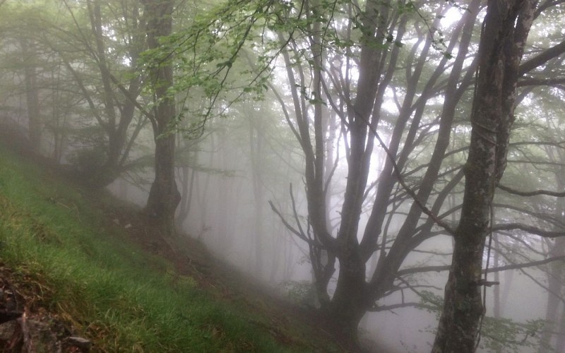
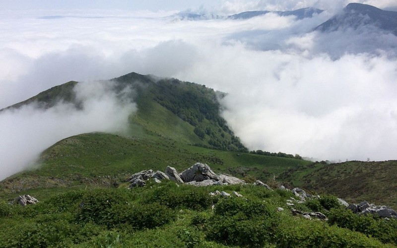
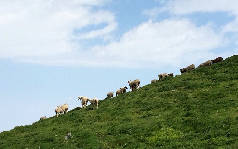
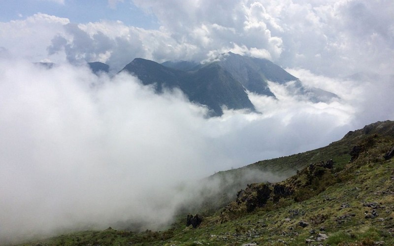
If you like adventurous hikes, on a wild mountain with major changes in height and a varying landscape, this itinerary is perfect for you. After an ascent through forests, ferny areas and clearings you will reach the high altitude pastures that lead to the summit of Merdanson, an exceptional panoramic viewpoint. On the mountain, from the hills to the summits, we cross different types of vegetation depending on the elevation and whether you are on the flat or a slope. On the northern slope of the Pyrenees, up to 900m ( 2952.76ft.), we find hills, meadows and leafy forests. From 900 to 1700m ( 2952.76 to 5577.43 ft.), at the mountain level, are the beech and fir forest. Above the forest is the start of the subalpine and alpine levels, which comprise heathlands and summer pastures. Higher, around 2300m ( 7545.93ft.), at the snow level, there are only rocks and snow.
19 km
|
1380 m
| |||
Leave to the left of the town hall. Go up the steps. In front of the school, turn left. Take the second to the right, a path that goes up between low walls. Turn right in front of the cemetery, turn left in front of the church. At the crossroads turn left. Stay on the road. Turn right on the road D126. 50m ( 164.04ft.) further, turn right, go up towards Rocher Ecole. Turn left after a house. Go through a barrier, follow under box trees. To the right go up. At the bottom of the ferny area, go up to the right. We reach a path to the left. At the bottom of the small valley and go up veering to the left. After a ferny area follow the path under hazel trees. To the left, cross the stream and go up. Go up to the left. Exit the forest and go towards the col. To the left of the Col d’Isou, follow the clearly marked path that goes up into a beech wood.
Turn left to leave the path. Pass by the Col of Nabails, continue on the other slope (East). Pass by a park and a stone cabin. 50m ( 164.04ft.) further, turn right, come back on the West slope. Follow the big path to the left. At the Col de Pan, turn right in front of the park. Go towards a rocky area. Go up towards the Merdanson by the East slope, passing above the cabin of Louscuts.
Go up towards two large rocks below the summit. Pass above them and follow the path over a limestone pavement. To the right go up on the side towards a great col. Pass above a cabin and ancient parks. To the right, towards the summit. From the summit (1540m) go down on the opposite ridge, following the weaker slope. Reach a path that goes down towards the two rocks seen on the way in. Turn left. Back at the park, to the left, go on the path you took on the way in. Back at the Col d’Isou go up ahead, North-East. Pass by groves and under the Tachuete cabin.
Pass by the Col of Arriulé and go down. Turn right at the source (water spring) des chiens. Follow the clearing. To the right, enter the forest. Cross the barrier, continue into the forest. At the Col of Tisné, turn right on the road then on the track. Turn left at the drinking trough then once again to the left on the road to go back to Arthez-d’Asson.
Yellow
Loop
Natural
Fixed telephone : +33 5 59 13 94 99
Office de Tourisme Communautaire du Pays de Nay
Web site (URL) : www.tourisme-bearn-paysdenay.com
Office de Tourisme Communautaire du Pays de Nay
Oui