Alert
Alerts
VTT 5 Le chemin Henri IV


Description
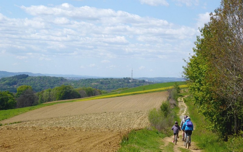
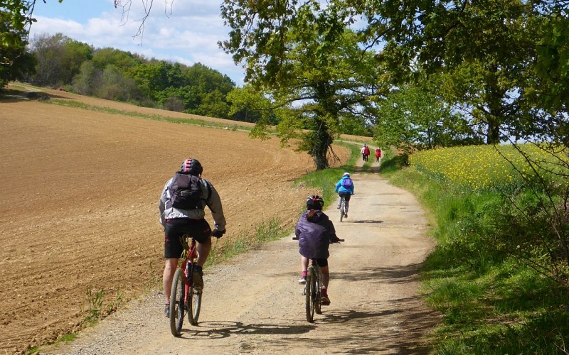
It is said that this path was the one that Henri IV used to take from Pau to go hunting in the woods of Lourdes. It is on the hillside, long predates the good king and dates back to the protohistoric period. It enabled travellers to avoid the marshlands of the Plaine de Nay and the Gave de Pau. The Road to Santiago, between Lourdes, Pau and Lescar, from the dolmen of the Peyre Duzets, to Caesar’s Fort (le Fort de Cesar) by way of the ruins of Gleise Pause; the etymology and the vestiges of the past tell the story of a path that, way before having the name of a king, was a route between cities. Later on, villages and roads were built in the plain, which, with the change in climate and the work of men, dried out.
Technical Information
Altimetric profile
Starting point
Steps
Additional information
Balisage
White and red (GR®)
Chemin Henri IV
Typologie de l'itinéraire
Return
Hiking Route (GR®)
Thèmes
Historical
Natural
Contact
Fixed telephone : +33 5 59 13 94 99
Office de Tourisme Communautaire du Pays de Nay
Web site (URL) : www.tourisme-bearn-paysdenay.com
Office de Tourisme Communautaire du Pays de Nay
Animaux bienvenus ?
Oui
Marques et labels
GR® homologué FFRandonnée
