Alert
Alerts
La Sapinière (22) - Downhill MTB track

Description
Discover this beautiful route that will take you to the chapel of the three crosses through the national forest. Return via different hamlets of Valloire.
To activate geolocation, click on the map icon.
Technical Information
Altimetric profile
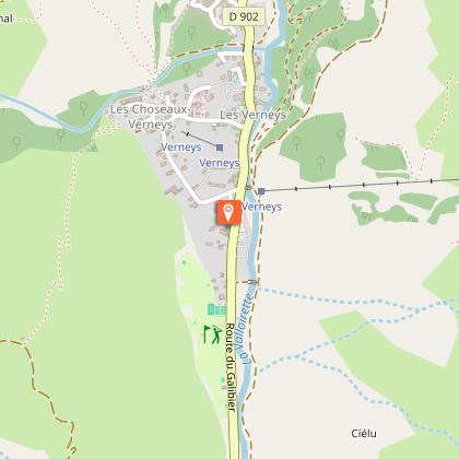
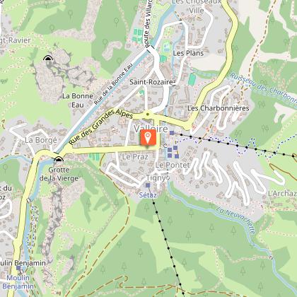
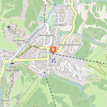
Starting point
Points of interest


Date and time
- From 05/07/2026 to 30/08/2026 from 10:00 to 16:30
- From 05/07/2027 to 30/08/2027 from 10:00 to 16:30
Additional information
Contact
Phone : 04 79 59 03 90
Email : sem@valloire.net
Website : https://www.valloire.net/profiter-de-valloire/activites-outdoor/le-velo/itineraires-de-vtt-vttae-a-valloire/
Open period
From 05/07 to 30/08 daily between 10 am and 4.30 pm.
Subject to favorable weather.
Environments
Mountain location
Ski resort
Type of land
Stone
Ground
Grit
Sand
Topo guides and map references
Map references :
The summer map of pedestrian, downhill mountain bike and VTTAE routes is available free of charge from the tourist office and lift ticket offices.
IGN map 3435ET VALLOIRE - Aiguilles d'Arves / Col du Galibier is on sale in Valloire shops.
Updated by
Office de Tourisme de Valloire - 15/07/2026
www.valloire.net/
Report a problem
Reception complements
To keep the mountains a pleasure, choose an activity suited to your level of experience and physical ability. Check the weather forecast and seek advice from qualified professionals, and inform someone of your itinerary. Make sure you're properly equipped: helmets are compulsory, and we strongly advise you to wear kneepads, elbow pads, back protection and gloves. In your rucksack, take a water bottle and snacks to keep your energy levels up, and a survival blanket or warm clothing. Protect yourself from the sun with sunscreen and sunglasses. Don't forget binoculars to add a touch of observation to your adventure.
Guidebook with maps/step-by-step
Departure point: top of the Lac de la vieille chairlift. 1 - Walk around the lake to find the downhill slopes (recommended route: the family trail). 2 - Follow the signposted path to the Chapelle des Trois Croix. You'll pass through the national forest. 3 - Once you've reached the Chapelle des Trois Croix, follow the signs for the signposted path to the hamlet of Le Col. 4 - You'll pass through the hamlets of Les Granges and Les Choseaux-Ville before returning to the center of Valloire.
Animals
No. For your dog's safety, we do not recommend mountain biking.
Data author
