Alert
Alerts
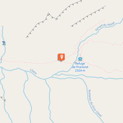
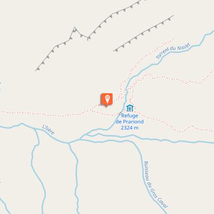
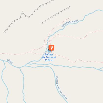
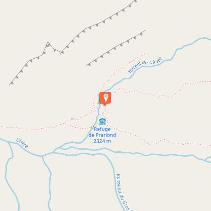
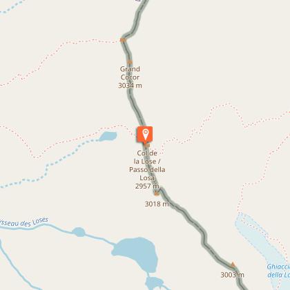
Col de la Lose par le Vallon du Prariond


Technical Information
Altimetric profile
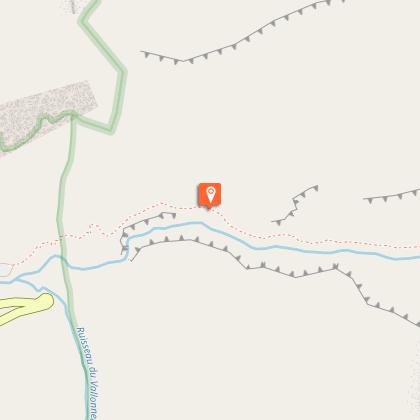
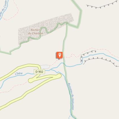
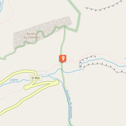
Starting point
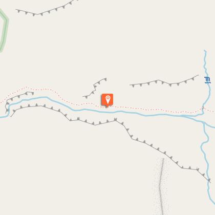
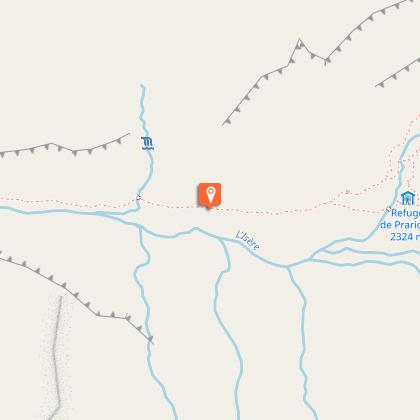
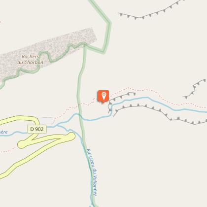
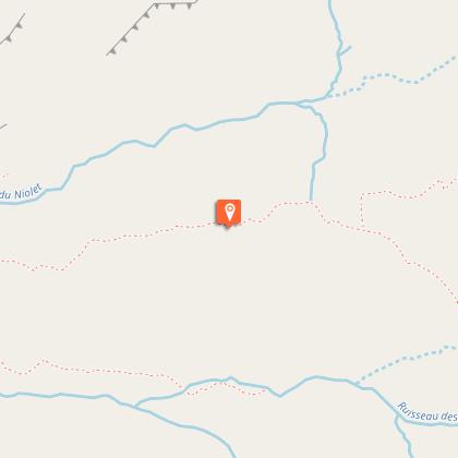
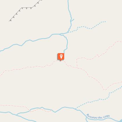
Steps

Date and time
- From 01/06/2026 to 31/10/2026
- From 01/06/2027 to 31/10/2027
Additional information
Updated by
Val d'Isère Tourisme - 18/02/2026
www.valdisere.com/
Report a problem
Environments
Mountain view
Mountain location
Open period
From 01/06 to 31/10.
Subject to favorable snow and weather conditions.
Contact
Phone : 04 79 06 06 60
Email : info@valdisere.com
Website : https://www.valdisere.com/
Type of land
Ground
Not suitable for strollers
Topo guides and map references
Map references :
OS map 3633ET Tignes Val d'Isère
Data author
