Alert
Alerts
La Roche Olvéra by Colomban Noir - Hiking trail

IGN cards


Description
Come and discover this hike on the road to the Col du Galibier. You can spot marmots and discover incredible flora.
Technical Information
Altimetric profile
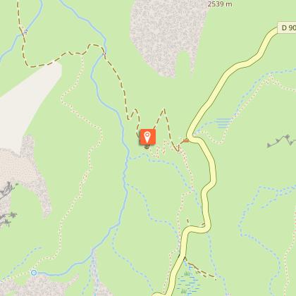
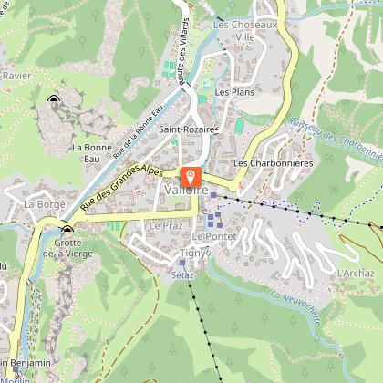
Starting point
Steps
Points of interest


Date and time
- From 15/05/2026 to 15/10/2026
Additional information
Tips
- Find out about weather conditions before you leave.
- This hike takes place in summer when there is no more snow.
- Inform someone of your itinerary, as communication may be limited.
- It's best to leave in the morning, so as not to be surprised by the dark, and let someone know if you're going alone.
- The routes you take are your own responsibility.
- Choose an itinerary suited to your physical and technical ability. If in doubt, don't hesitate to contact mountain professionals.
- Make sure you're properly equipped to hike safely and cope with the vagaries of the weather. There are a few things you can do to make your experience safer and more enjoyable. Walking poles improve balance, and regular hydration is essential.
Carry a water bottle and snacks to keep your energy up. Protect yourself from the sun with sunscreen and sunglasses. Don't forget binoculars to add a touch of observation to your adventure.
Updated by
Office de Tourisme de Valloire - 08/12/2025
www.valloire.net/
Report a problem
Environments
Mountain view
Panoramic view
Mountain location
Open period
From 15/05 to 15/10 daily.
Subject to favorable snow and weather conditions.
Contact
Phone : 04 79 59 03 96
Email : info@valloire.fr
Website : https://www.valloire.net/
Topo guides and map references
Map references :
Map of Valloire hiking and mountain biking trails, on sale at the tourist office.
IGN map 3435ET VALLOIRE - Aiguilles d'Arves / Col du Galibier is on sale in Valloire shops.
Type of land
Rock
Stone
Ground
Not suitable for strollers
Reception complements
Drinking water supply at Geneuil and the Chapelle des Trois Croix.
To keep the mountains a pleasure, choose an activity suited to your level of experience and physical ability. Check the weather and seek advice from qualified professionals, and tell someone about your itinerary. Set off with the right equipment: good shoes and walking poles. In your rucksack, carry a water bottle and snacks to keep your energy levels up, a survival blanket or warm clothing. Protect yourself from the sun with sunscreen and sunglasses. Don't forget binoculars to add a touch of observation to your adventure.
Guidebook with maps/step-by-step
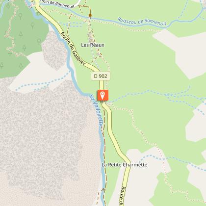
Start : Bonnenuit
1/ From the Bonnenuit parking lot, turn left off the road onto a footpath.
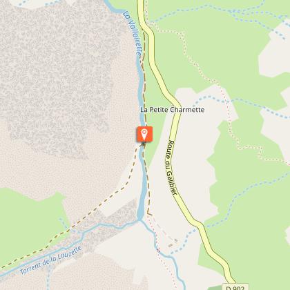
2/ Follow this path to the bridge and cross it.
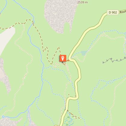
3/ Follow the signs for Colomban noir and continue on this path for several kilometers.
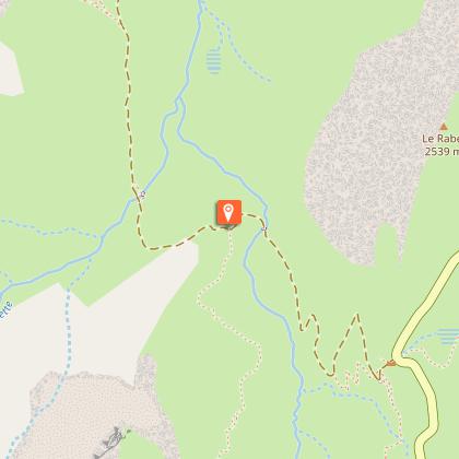
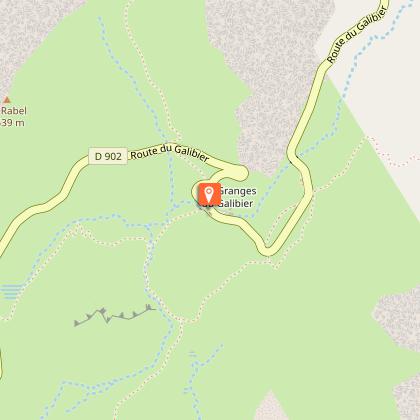
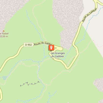
4/ Once you reach Colomban noir, cross the road and follow the path to Les Granges du Galibier*.
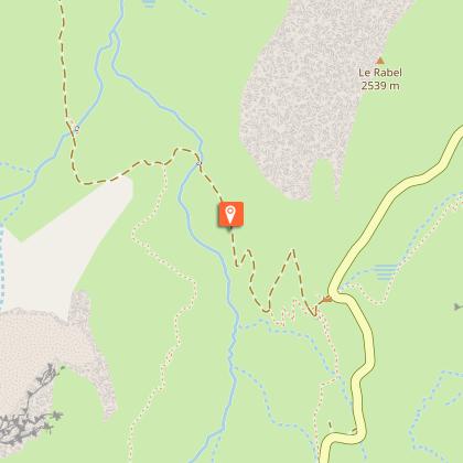
5/ Once you've reached the Granges du Galibier, climb towards the summit of Roche Olvéra (no footpaths).
6/ Once at the summit, return by the same route
*You can also drive up to the Granges du Galibier and simply climb up to the Roche Olvera.
Animals
Yes. Pets must be kept on a leash.
Data author
