Alert
Alerts
A walk along the path of plants


IGN cards


Description
The perfect opportunity to discover the magic of aromatic and medicinal plants. It's an easy way to enjoy a cool snack and whet the curiosity of your inner botanist.
Cross the cool waters of the Doron for a wild and inspiring moment at the gateway to the Vanoise National Park. Play druid with the Association Patrimoine et Développement de Termignon. Discover the virtues of our mountain plants. During your gourmet break, admire the waterfalls rising from the flanks of the Dent Parrachée. Enjoy the traditional architecture of the chalets with their slate roofs.
Technical Information
Altimetric profile
Starting point

Date and time
- From 01/05/2026 to 30/11/2026
Additional information
Contact
Phone : 04 79 05 99 06
Email : info@hautemaurienne.com
Website : https://www.haute-maurienne-vanoise.com
Facebook : https://www.facebook.com/people/Patrimoine-et-D%25C3%25A9veloppement-de-Termignon/100040193294012/
Open period
From 01/05 to 30/11.
Subject to favorable weather.
Updated by
Haute Maurienne Vanoise Tourisme - 23/12/2025
www.haute-maurienne-vanoise.com
Report a problem
Environments
Riverside
Mountain view
Waterside
Mountain location
Village 2 km away
Type of land
Ground
Not suitable for strollers
Topo guides and map references
Topo guides references :
Map and booklet "Haute Maurienne Vanoise. 115 walks and hikes - 35 trail routes. For all levels" (sold for €10 in Tourist Offices) - Green route n°20
Map references :
Map IGN 3633ET - Tignes Val-d'Isère
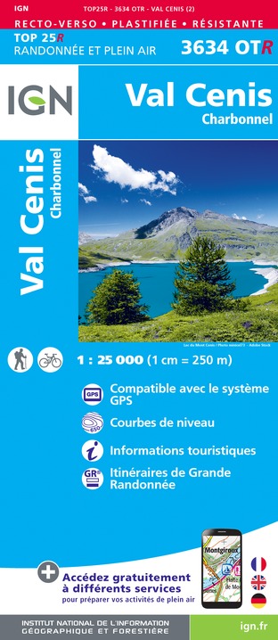
Map IGN 3634OT - Val Cenis
Location complements
To get there by car: from Termignon, RD83 to the parking lot at the Villard bridge (end of road).
Reception complements
The duration of hiking trails is calculated using reference paces: 300 m/h ascent, 500 m/h descent and 4 km/h on the flat.
As hazards may occur at any time on the routes, the GPX tracks provided are not contractual. They are given for information only. Riders use them at their own risk, depending on their level of technological proficiency and their understanding of the terrain.
Tricky passages
The route is accessible to all, with some steep sections that require good footwear.
Guidebook with maps/step-by-step
To guide you in the field, consult the "step-by-step" directional diagram provided in pdf.
Animals
Yes. Out of respect for wildlife, please keep your dog on a lead.
