Alert
Alerts
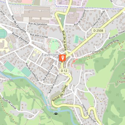
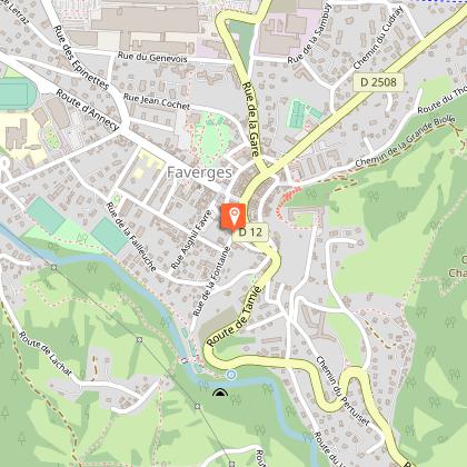
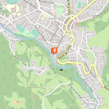
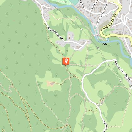
Hike: La Source du Biel


IGN cards


Technical Information
Altimetric profile
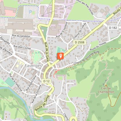
Starting point
Steps


Additional information
Environments
Mountain view
In the country
Mountain location
Updated by
Office de Tourisme des Sources du Lac d'Annecy - 15/09/2025
www.sources-lac-annecy.com
Report a problem
Open period
All year round.
Contact
Phone : 04 50 44 60 24
Email : accueil@sources-lac-annecy.com
Facebook : https://www.facebook.com/sources.lac.annecy.tourisme/
Google+ : https://plus.google.com/u/0/111088530102805483892
Type of land
Stone
Ground
Hard coating (tar, cement, flooring)
Not suitable for strollers
Guidebook with maps/step-by-step
Discover one of the geosites of the Bauges mountain range! Through rue Nicolas Blanc, join the boules pitch (boulodrome) of Faverges-Seythenex. Follow the river to Favergettes bridge, take it and head towards the Lachat. An opening in the woods offers a view of the town's Castle tower and the start of the Aravis mountain range. A path goes back down to Faverges to find your starting point again.
Animals
Yes
