Alert
Alerts
Loop walk - Napremont pass
Description
If you like grandiose panoramas, you're on the right track!
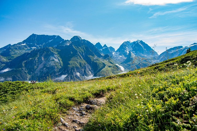
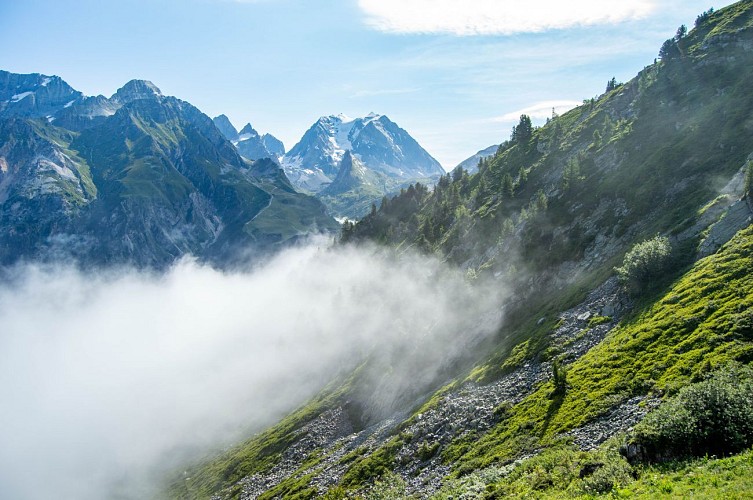
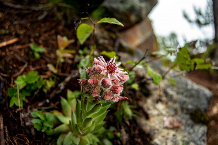
If you like grandiose panoramas, you're on the right track! At the summit, the mountain atmosphere is striking, with the limestone walls of the dents de la Portetta on one side, often likened to small Dolomites for their verticality. On the other, the Grande Casse and the Vanoise glaciers, the largest ice cap in the Alps. The flora is well represented, particularly on the upper part with an ericaceous heath, made up of rhododendrons. ericaceous heathland, with rhododendrons blueberries and lingonberries, home to a population of Tétras- Lyre and Bartavelles Lyre and Bartavelles (Alpine partridge).
Trail info: Closed for several years due to a major rock fall, the itinerary was reviewed and modified in 2021 and can now be completed as a loop. From Pralognan-la-Vanoise, a staircase of over 180 steps leads to the Col de Napremont. This trail (trail no. 71b) is not recommended for the descent.
Technical Information
Altimetric profile
Starting point
Additional information
Open period
From 15/06 to 15/10.
Subject to favorable snow and weather conditions.
Updated by
Office de Tourisme de Pralognan-la-Vanoise - 18/08/2025
www.pralognan.com/
Report a problem
Contact
Phone : 04 79 08 79 08
Email : info@pralognan.com
Website : https://www.pralognan.com/
Facebook : https://www.facebook.com/pralognan/
Google+ : https://plus.google.com/116545272486951855082
Location complements
Nearby car park: Bouquetin car park
Topo guides and map references
Map references :
Pralognan-la-Vanoise trail map.
Type of land
Rock
Stone
Ground
Grit
Not suitable for strollers
Environments
Mountain view
Mountain location
Guidebook with maps/step-by-step
1. From the top of the Plateau, follow the old route des Creux (path no. 67) towards the hamlet of Chollière. Before the hamlet, near an isolated barn, take the pastoral track which leads to the main road, then turn left onto this road and join the trailhead on the right which leads to the Col de Napremont (trail no. 71b) through the Chollière forest.
2. Follow this path up to the pass, using the imposing staircase.
3. On the way down, continue on the Creux de l'Ours trail down the other side (trail no. 71) and stay on this trail until it intersects with the forest track (trail no. 70).
4. Follow this forest track to the Plan district.
Animals
Yes
