Alert
Alerts
Les grandes baraques de l'Arc - lac de l'étroit. Boucle.


IGN cards


Description
Nice trek with a wonderful view on the lake and the Mont Blanc !
This trek will take you through the "Grandes Baraques" pastures to this tiny lake after 2h30 climbing. The view is great on the Mont Blanc. If you have energy left, you can climb up to the summit of "la Croix Bozon", the view there is even nicer !
Technical Information
Altimetric profile
Starting point
Additional information
Updated by
Office de Tourisme de Peisey Vallandry - 13/10/2025
www.peisey-vallandry.com
Report a problem
Environments
Lakeside or by stretch of water
Mountain view
Forest location
Waterside
Lake view
Mountain location
Close to a public transportation
Near shuttle stop
Location complements
Departure from the Pont Romano in Nancroix, park at the entrance to the village and walk 10 minutes to the starting point
Open period
From 01/01 to 31/12.
Topo guides and map references
Map references :
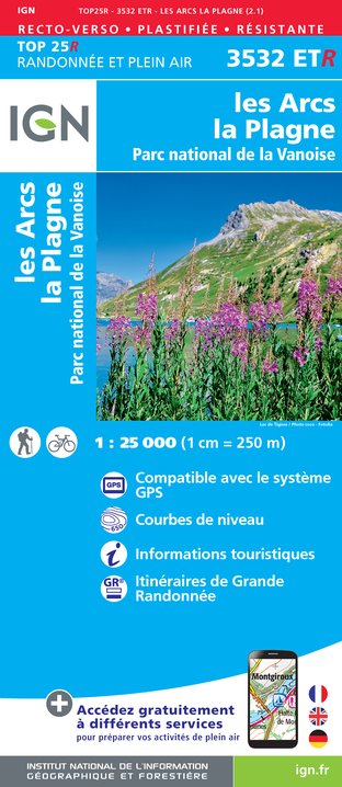
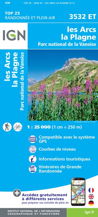
Carte IGN 3532 ET "Les Arcs La Plagne"
Contact
Phone :
04 79 07 94 28
04 79 07 88 67
Email : info@peisey-vallandry.com
Guidebook with maps/step-by-step
From the Pont Romano in Nancroix (1,430 m) or the Pont Baudin (car park)
Go to the site of the mine palace (ruin of the foundry) or 200 m downstream towards the salt water. Take the path that climbs to the "montagne de l'Arc", also known as "les grandes baraques" (1,992 m). Wide laces in the forest, then clearings, then mountain pasture. Cross the few houses and continue west. A tough climb in the sun, then a promontory with sinkholes (2,247 m). We go back down to the small lake (2,166 m) and then take the rather steep path downstream from this lake (path known as "des Charentais") which leads back to the Pont romano - Nancroix.
This loop can be done in the other direction!
Difficulties: difficult. Crossing of torrents. Steep sections on the way down.
Animals
Yes. Animals allowed on a leash only on the path that goes behind the Rosuel mountain hut (no loop possible)
Data author

