Alpine pastures and forests
Description
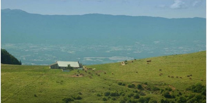
This short discovery trail dotted with information panels leads up a steep slope to the Salève ridge. It runs through a range of different mountain environments.
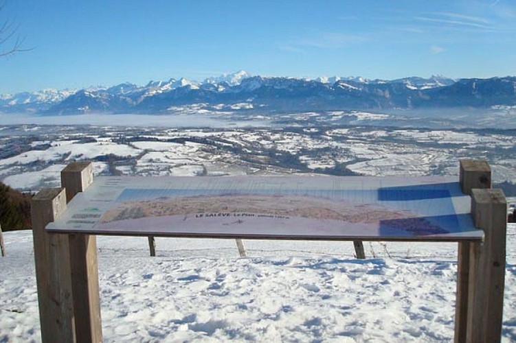
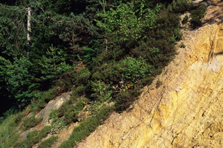
After crossing the village of Vovray-en-Bornes and passing a chapel, the path continues on sandstone soil through a forest full of conifers and blueberry bushes. Beyond that lie the mountain pastures. Up at the Plan observation platform, there is a superb panoramic view and a viewing table. The return journey again runs through the woods, and the hamlet of Rogin. The information panels along the way show how the pastures and forests are used and have changed over the years.
Technical informations
5 km
|
max. 1261 m
min. 853 m
402 m
402 m
| |||
Public : Family | ||||
Altimetric profile
Starting point
Additional information
Updated by
Office de Tourisme des Monts de Genève - 26/03/2024
www.montsdegeneve.com
Report a problem
Tips
In Vovray, there are two possibilities if you want to see the silica quarries. In Villy-le-Bouveret, there is a small pottery. Stop in the park and beside the lake at Les Dronières. Remember to cross the Caille Bridges, which are steeped in history. The oldest is Sardinian in origin and is a suspension bridge!
Guidebook with maps/step-by-step
1. Turn away from the church, take the small road that weaves between the farms on your left and cross the hamlet of Le Vernay (orchards). Take the D15 to the right for 50 m, then climb left along the grassy path through the pastures, past the oratory (sand outcrops typical of the subsoil on this slope).
After several forks (follow the signs) in the undergrowth, reach a crossroads (signpost; 1,000 m).
2. Continue uphill towards the Plan bend. The path climbs a steep slope and enters overgrown alpine meadows. Reach the "Roc du Château" signpost.
3. Climb to the left and reach the "virage du Plan" on the D41 (open view of Les Bornes, orientation table, picnic area).
You can continue uphill to the Salève Plan viewpoint (25 min).
4. Return to the Roc-du-Château crossroads.
5. Follow signs to the left for "Vovray par Rogin". First stay level in the alpine pasture, then descend through the beech forest on the wide, winding path. It passes over slabs (slippery in wet weather: take care) and meets numerous junctions (follow the signs). As you approach Rogin, the slope steepens in the coniferous forest.
Open period
All year round.
Contact
Phone : 04 50 95 28 42
Email : info@syndicat-mixte-du-saleve.fr
Data author
