Alert
Alerts
Le lac d'Anglas


Description
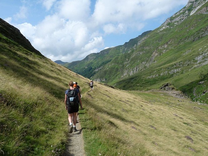
The Lac d'Anglas hike is one of the must-do itineraries starting from Gourette. It offers a varied mountain landscape where waterfalls, cliffs and a lake enhance the grandiose scenery of the high-altitude pastures you pass through.
Technical Information
Altimetric profile
Starting point
Steps
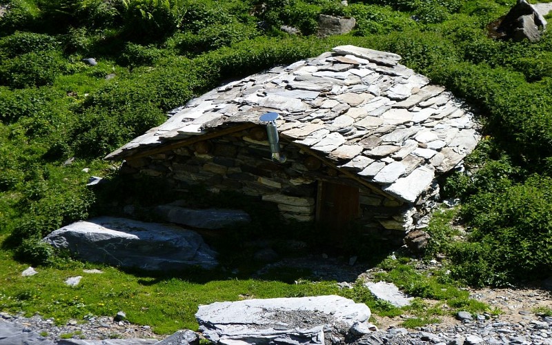
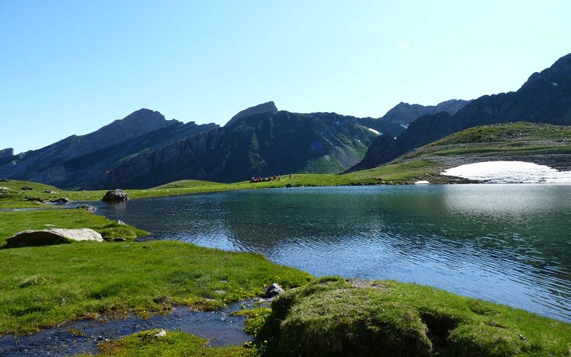
Points of interest


Additional information
Contact
Fixed telephone : +33 5 59 05 12 17
BIT Gourette
Balisage
White and red (GR®)
Traits blanc et rouge
Typologie de l'itinéraire
Return
Hiking Route (GR®)
Durée moyenne de l'expérience
Over 4 hours
Thèmes
Natural
Marques et labels
GR® homologué FFRandonnée
Data author
