Alert
Alerts
Chemin d'Amadour: étape 17 de Belvès à Castelnaud La Chapelle


Description
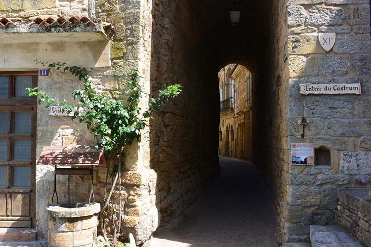
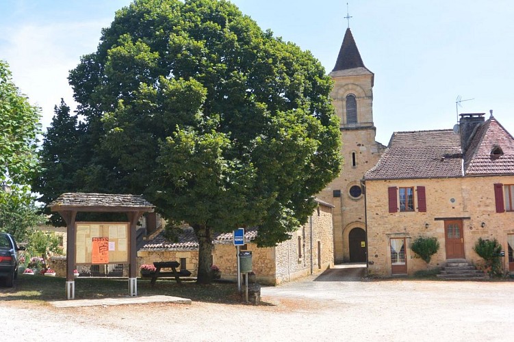
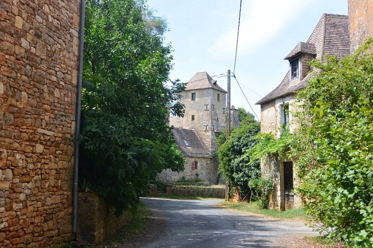
From Belvès, the relief deepens, the forest occupies the first part of the itinerary, then the views gradually open out over the Dordogne valley, which the path overlooks. After the ridge-top villages of Saint-Germain-de-Belvès and Cladech, the descent to the valley begins through cultivated fields, offering a beautiful panorama of the valley. A stop at the ?Croix de la Mission? before the village of Castelnaud gives you a bird?s-eye view of this part of the valley, where agriculture still plays a major role on the rich, fresh, sandy alluvial soil by the river.
Technical Information
Altimetric profile
Starting point
Steps
Points of interest


Additional information
Contact
Web site (URL) : www.chemin-amadour.fr/
Typologie de l'itinéraire
Walking trail
Hiking Route (GR®)
Durée moyenne de l'expérience
Over 4 hours
Thèmes
Cultural
Historical
Natural
Religious
Marques et labels
GR® homologué FFRandonnée
Data author
