Alert
Alerts
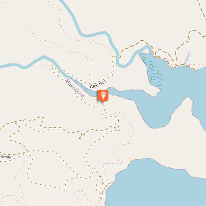
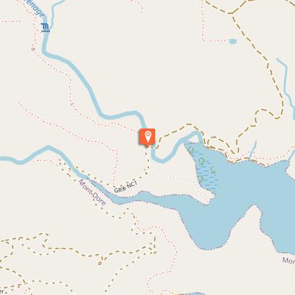
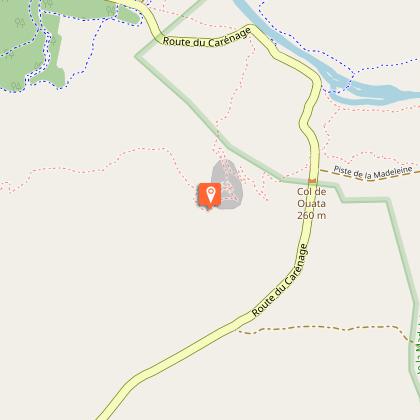
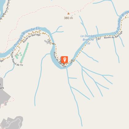
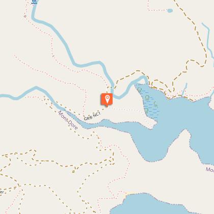
GR® NC1
Description
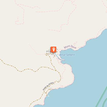
New Caledonia is a fabulous land of adventure and emotion. Slowly, the GR® NC1 trail unwinds its trace from Prony to the North. Let's go together to decipher the path. Follow the guide and put your steps in ours...
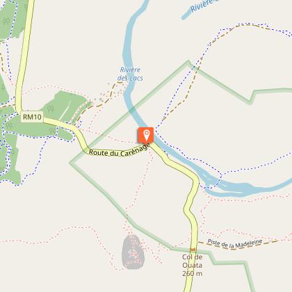
The GR® NC1 crosses New Caledonia’s Great South. It leads bushwalkers through the heart of the mining and forestry history of the Great South...
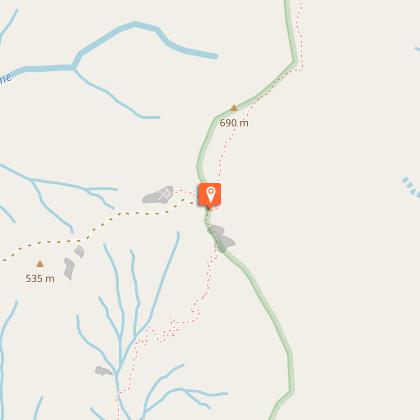
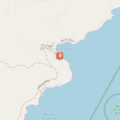
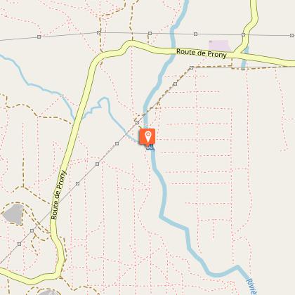
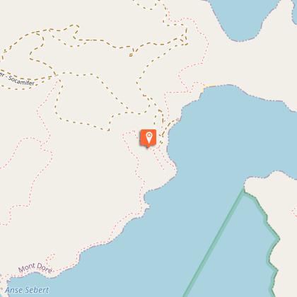
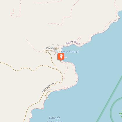
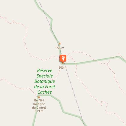
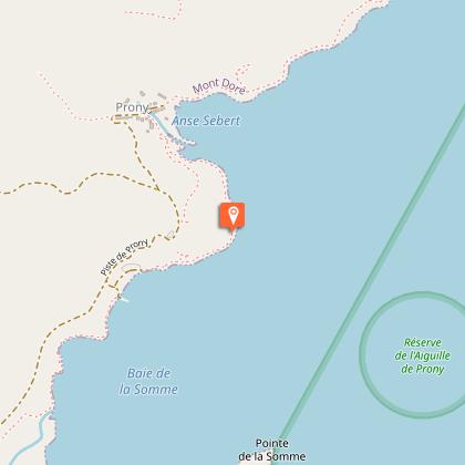
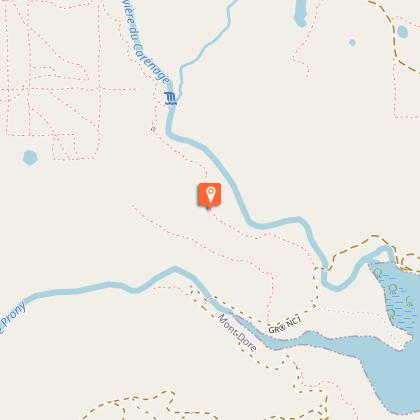
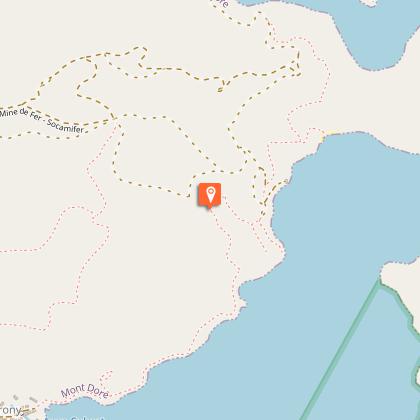
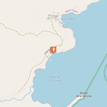
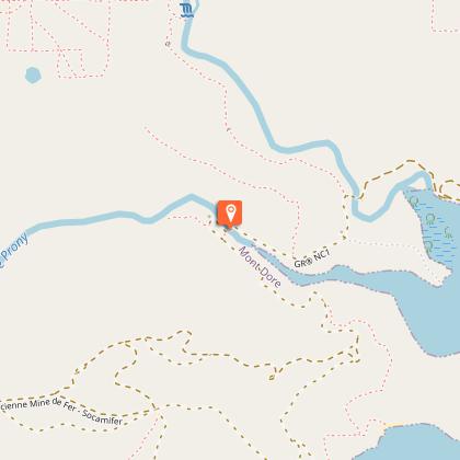
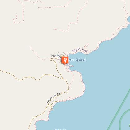
Prony, the Tchaux mine, the Anna-Madeleine mine: frozen traces of an old but relentless activity which gradually disappear in the vegetation and silence. Tortured nature, the luminous, tragic beauty of the bleeding soils...
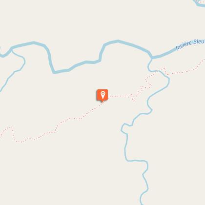
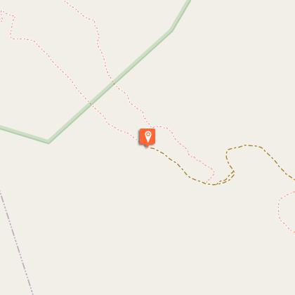
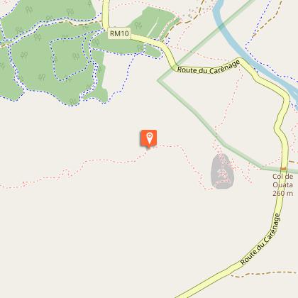
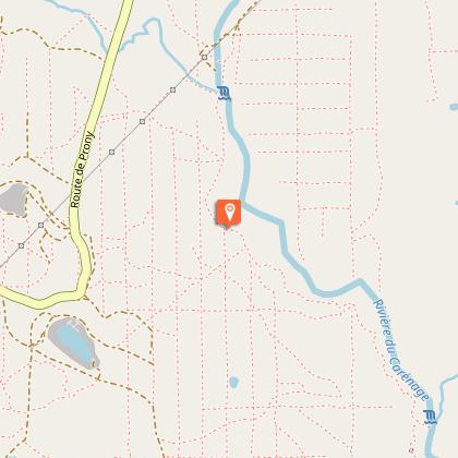
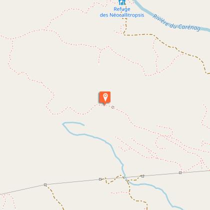
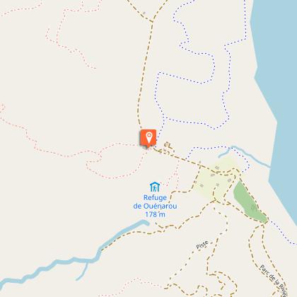
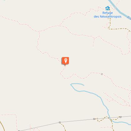
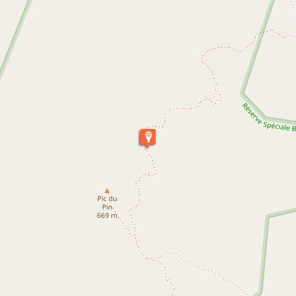
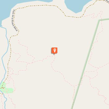
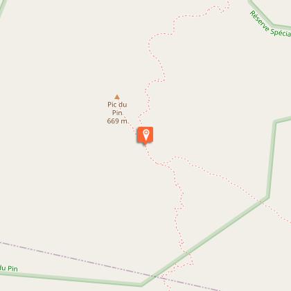
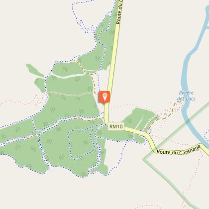
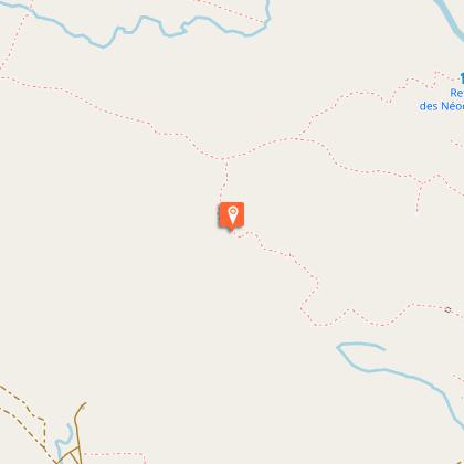
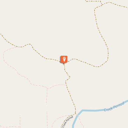
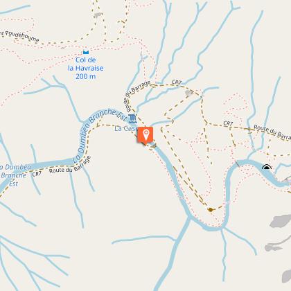
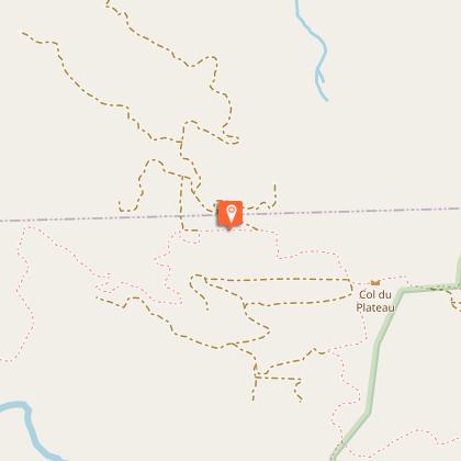
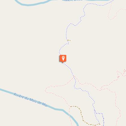
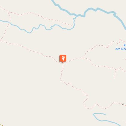
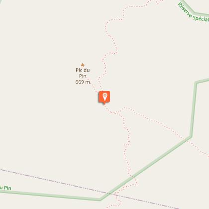
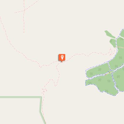
Leaving Néocallitropsis Hut behind, the trail follows the long ridge line that separates the Plain of Lakes from Pernod Creek valley. It stretches from the Pic du Pin to the Anna-Madeleine Mine. From this relatively low vantage point, it overlooks the Deep South. In the distance you can see the sparkling mass of the ocean.
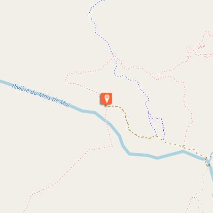
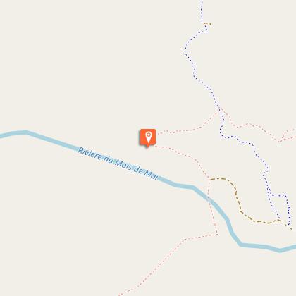
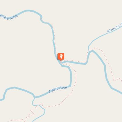
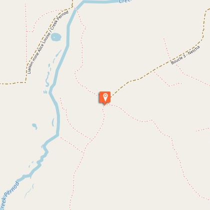
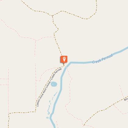
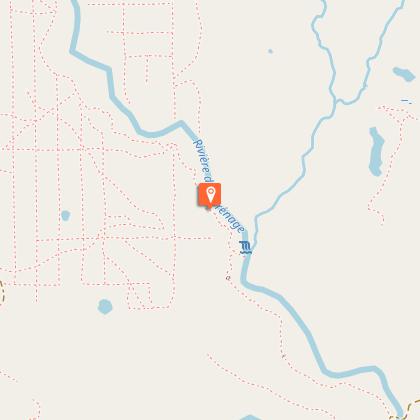
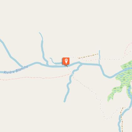
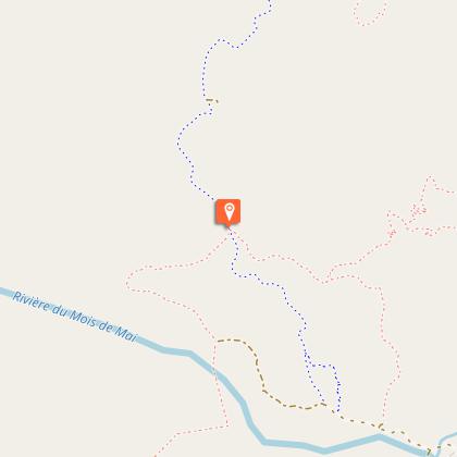
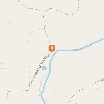
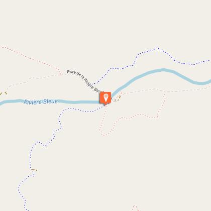
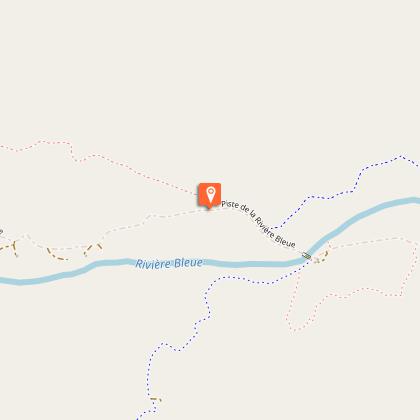
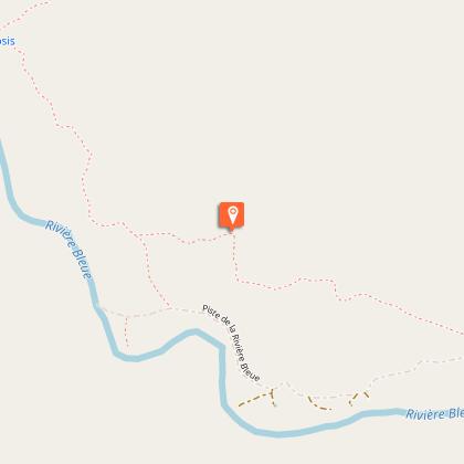
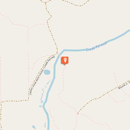
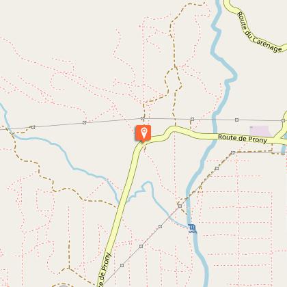
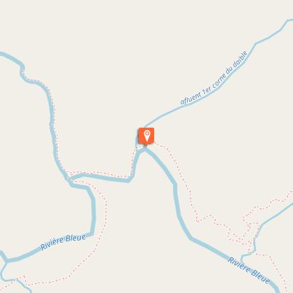
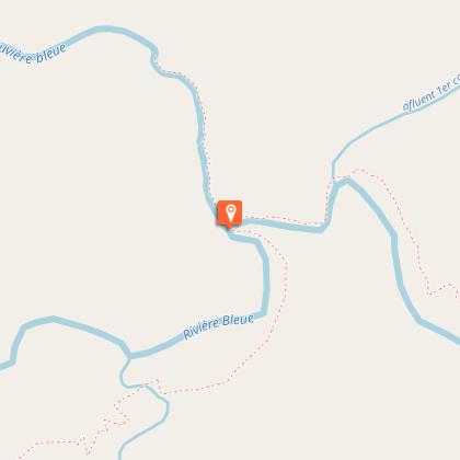
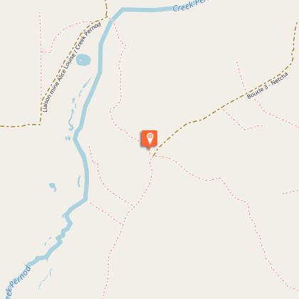
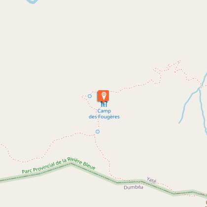
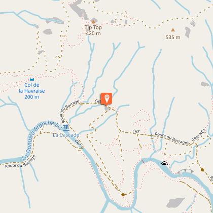
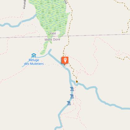
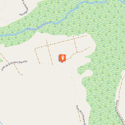
To reach the Blue River Provincial Park, the trail follows the trail of the pack animals that tirelessly roamed the Deep South to supply prospectors, miners or foresters. It crosses the curious valley of Pernod Creek, traversed by capricious trickles of water which meander discreetly under the rushes.
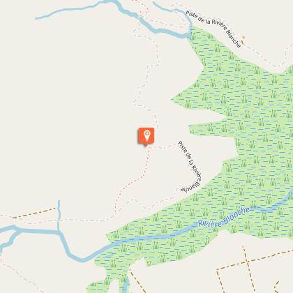
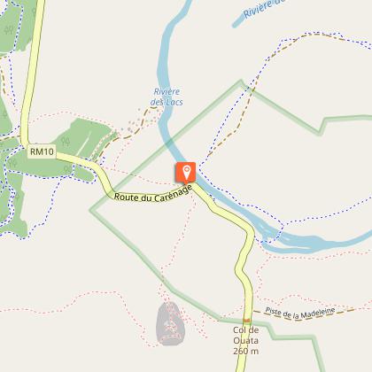
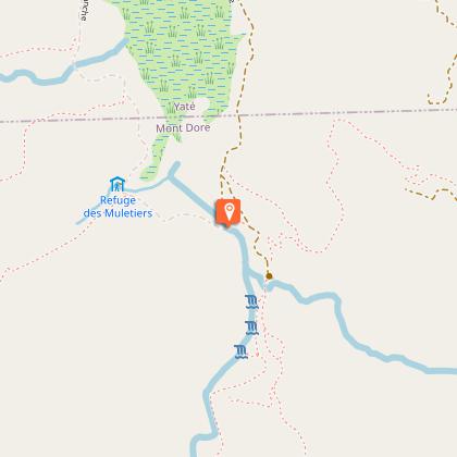
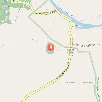
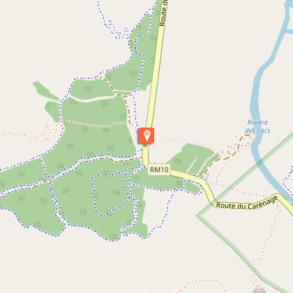
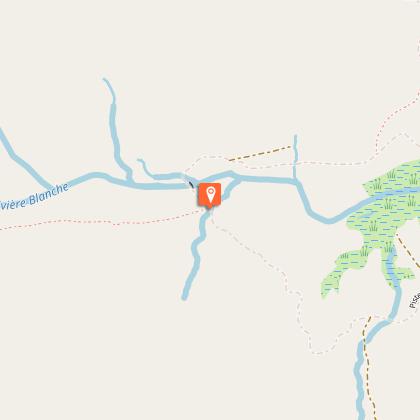
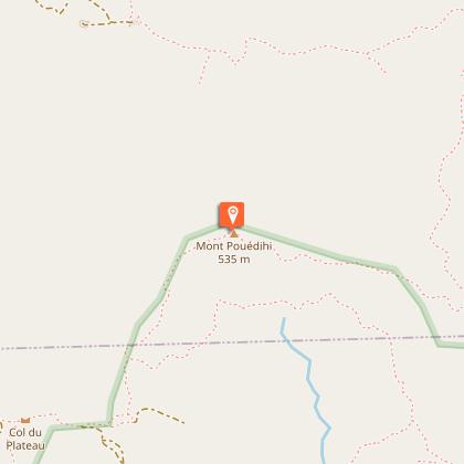
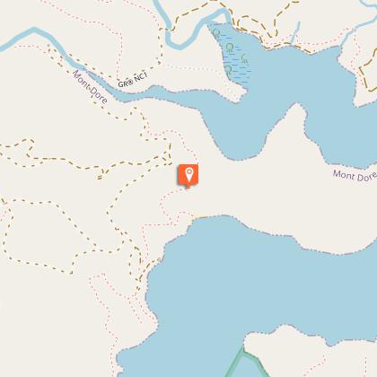
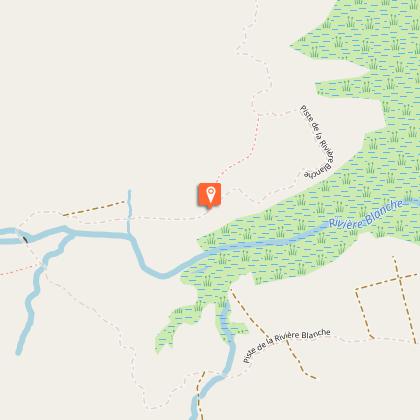
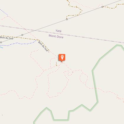
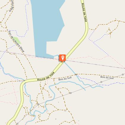
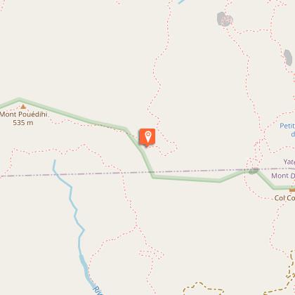
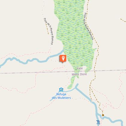
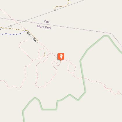
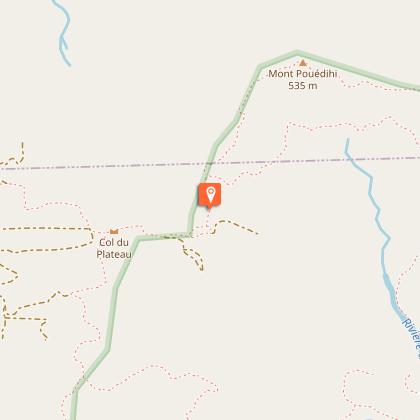
At the entrance to the Blue River Provincial Park, the route climbs the foothills of Pouédihi and Gwé Daru mountains. From the promontories that line the route, your gaze inevitably plunges towards Lake Yaté, which salamanders its way between the surrounding hills. Bushwalkers walk alongside the White River Wetland, one of the most beautiful wetlands in the Great South and part of the area protected by the Ramsar Convention.
In the Blue River Provincial Park there are a range of alternatives for bushwalkers to choose from.
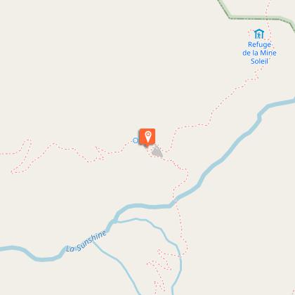
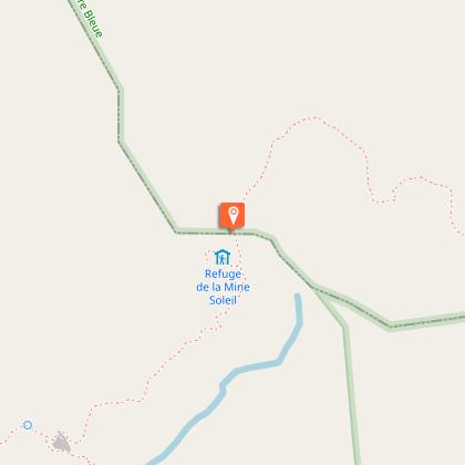
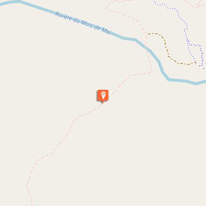
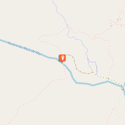
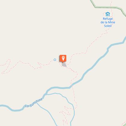
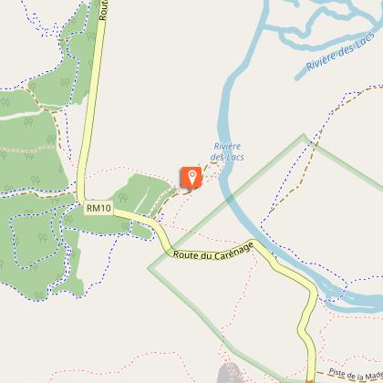
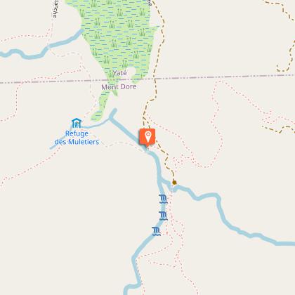
> One of them goes via Muletiers Hut and around White River to the west and north before entering the depths of the Mois de Mai Forest where light and shade give the creeks such an eerie aspect.
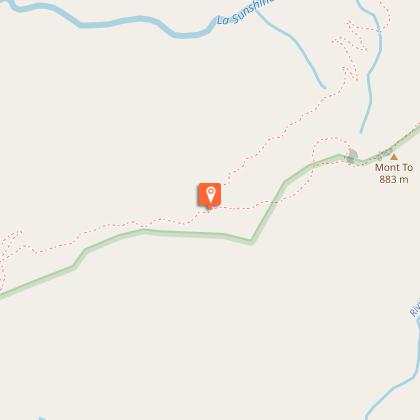
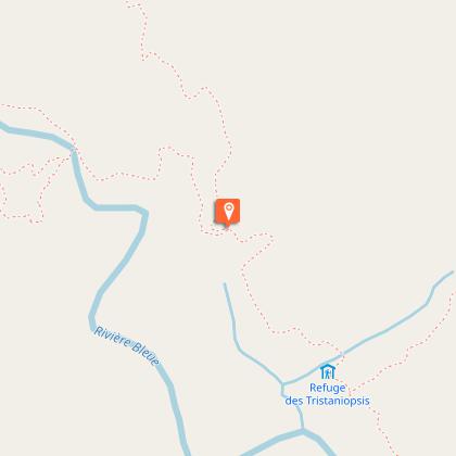
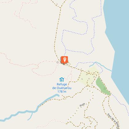
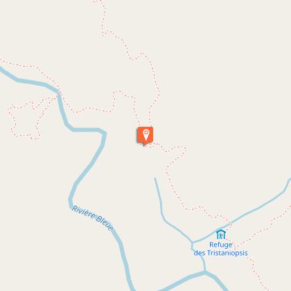
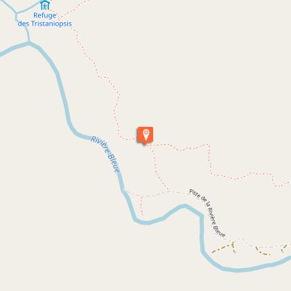
> Another runs from Ouénarou Hut to Tristaniopsis Hut via the foothills of Pouédihi and Ouénarou mountains. To the North of Pont Pérignon, then the ridge separating the Blue River valley from the White River valley. Along the way, stunning views abound.
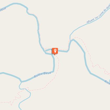
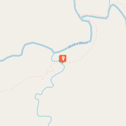
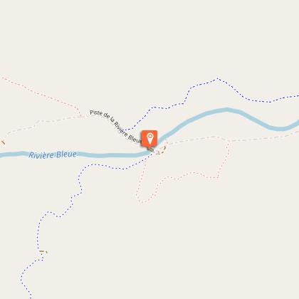
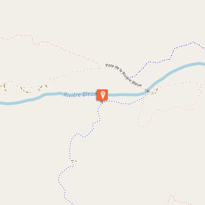
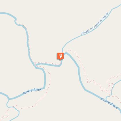
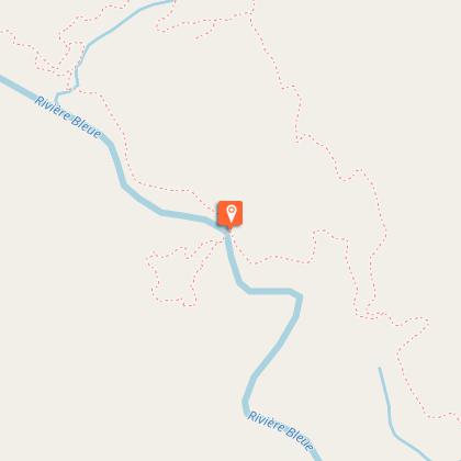
> A third follows the banks of Lake Yaté before going up the course of the Blue River beyond Germain Bridge.
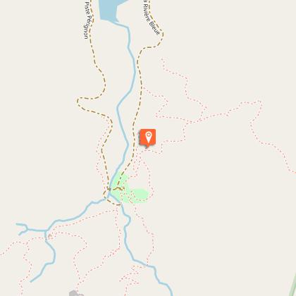
The Upper Blue River is one of New Caledonia’s unmissable highlights. Its slopes are covered with wonderfully preserved old-growth forest. The river digs narrow and steep meanders in its upper reaches. A long-unexplored and enigmatic space, the GR® NC1 offers you the privilege of accessing it.
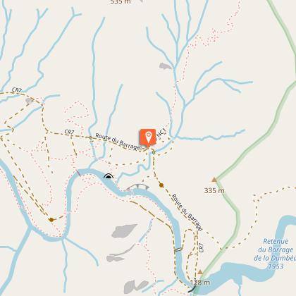
And, in its final stretch, the mule track hugs the sides of the mountain and winds through the valleys and across the high ridges that dominate the Dumbéa River. An aerial pathway with an alpine outlook...
The GR® NC1 is approved by the French Federation of Hiking.
Technical Information
Altimetric profile
Starting point
Steps

Additional information
Updated by
Sud Tourisme Nouvelle-Calédonie - 24/11/2025
Report a problem
Contact
Phone : +687 20 30 40
Website : https://www.province-sud.nc
Type of land
Rock
Stone
Ground
Grit
Not suitable for strollers
Topo guides and map references
Map references :
See step sheet
Tricky passages
Several dangerous rivers in rainy weather
Animals
No
