Alert
Alerts
Penitentiary Trail
Description
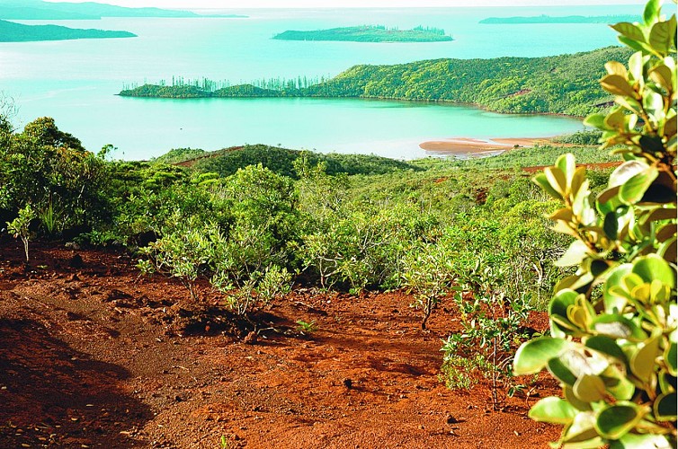
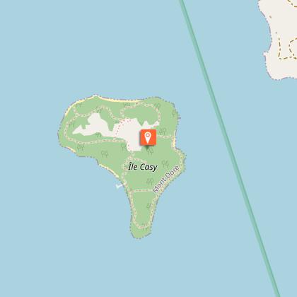
This short walk starting from the bay of the Somme allows you to discover historical vestiges dating from the Penitentiary (beginning of the 20th century) and leads to the village of Prony. Beautiful panoramas on the bay of Prony, the islet Casy and the island Ouen.
> Respect the inhabitants of the village and their properties.
D north-east end of the car park: at the sign, head north-east along the seaside to an intersection. Enter the undergrowth on the left and reach a fork. On the left, a path heads north. Take it to reach a cemetery.
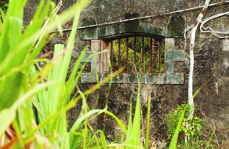
1 The Guardians and Settlers Cemetery (the graves are marked with shells, two large columnar pines mark the site, no inscriptions appear on the graves): Return to the main route and turn left towards the north-east. The track climbs easily though sparse vegetation,
then, after a steep incline, leads to a platform that overlooks the sea (offering an
unobstructed view over the bay).
2 Viewpoint (GPS: 688 057 – 7 530 030): turn left to
climb the steps carved into the laterite soil. The trail crosses a small dry forest before joining the CR 9. Turn right, heading north, following the edge of the red dirt road. About 75 m further on, at the sign, leave the road to the right to enter the forest by a good marked path. You’ll come to an intersection. Turn right (east). The path leads to another cemetery buried in the forest.
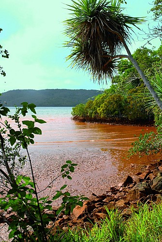
3 Criminals’ cemetery (GPS: 688 049 – 7 530 164; alt. 50 m): return to the intersection and continue north. The path crosses a trench of red earth before descending slowly through the woods towards the bay of Prony (slippery descent in wet weather).
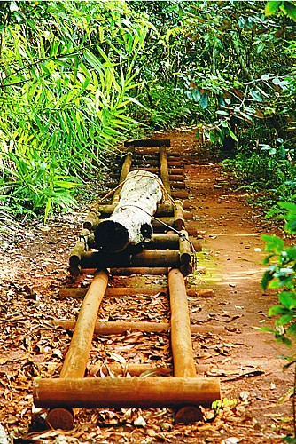
4 Le Traîneau (GPS: 687 999 – 7 530 424): continue straight ahead. When you come into contact with the creek, turn left to reach the village of Prony via a grassy and shaded path (painted sheet metal houses line the path; the ruins are swallowed up by the roots of the banyan trees). You’ll reach the heart of the village.
> Possibility to visit the whole hamlet (water point).
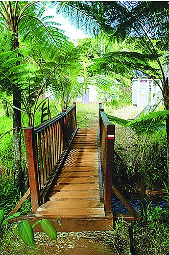
5 Small bridge (GPS: 687 901 – 7 530 586): go back.
4 Le Traîneau: turn left to follow the coast (GR® NC1 trail) and return to the starting car park D.
Texts and photos J.F. Clair
Technical Information
Altimetric profile
Starting point
Points of interest
Additional information
Contact
Phone : +687 20 30 40
Website : www.province-sud.nc
Facebook : www.facebook.com/provincesud/
Updated by
Sud Tourisme Nouvelle-Calédonie - 13/03/2025
Report a problem
Type of land
Rock
Stone
Ground
Grit
Topo guides and map references
Topo guides references :
Description sheet available for download (province-sud.nc) or in paper version in tourist organizations.
Location complements
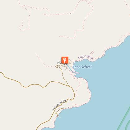
Location: Baie de la Somme, 56 km south-east of Nouméa by the RP 1, then direction of Plum, Pirogues river and Prony
Car park: North-east end of the Baie de la Somme (GPS: 687 867 – 7 529 969)
Reception complements
FFrandonnée® grading
* Effort: IBP 11 easy (green)
* Technical difficulty: easy (green)
* Risk: low (green)
* Overall grading: easy (green)
Tricky passages
Very easy trail, but slippery in wet weather.
Animals
Yes
