Alert
Alerts
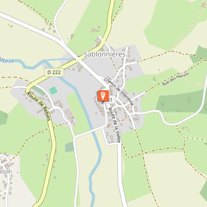
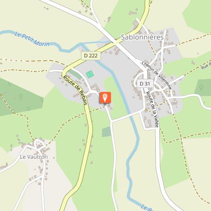
Sablonnières
Description
Explore the Petit-Morin valley with its mills and farms. The village church has a bell tower with a gently-sloping gable roof and overlooks the neighbouring Brie houses.
Technical Information
Altimetric profile
Starting point
Steps
Additional information
Tips
• Do not leave the marked paths.
• If there are any doubts regarding which path to take, markings take precedence over the description.
• Respect nature and private property.
• Don't litter.
• Avoid routes during hunting season (check with the town halls or the Seine-et-Marne hunting federation).
• Close gates and fences after you.
• Whenever possible, remove any obstacles from the path.
Contact
Phone : 01 64 60 26 26
Email : info@provins.net
Website : www.provins.net
Updated by
Provins Tourisme entre Bassée, Montois et Provinois - 11/06/2025
www.provins.net
Report a problem
Open period
All year round.
Guidebook with maps/step-by-step
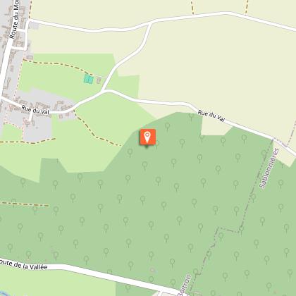
1- From the square, take Rue des Brodarts, turn right and cross the bridges over the Petit-Morin. Follow the road to the right.
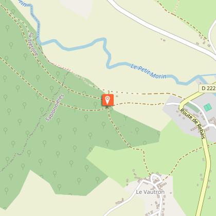
2- Climb the track on your left, cut across the D222 and go straight up. At the entrance to Le Vautron, take the street on your right. Go down Chemin des Chaillots on your right and, after the wood, you’ll reach a cross path.
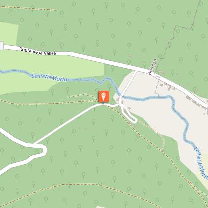
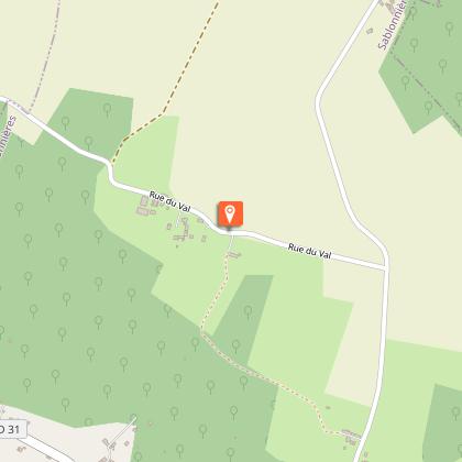
3- Take the stony track on your left. In the bend, take the track down through the wood on your right and cross the Moines brook. As you leave the wood, follow the track crossing on your left.
4- Take the road on your right and, at the centre of La Forge, turn left to cross the Petit-Morin. Take the D31 on your left for 300m then climb the track on your right in the wood.
Continue past the track on your left.
5- At the T-junction, go down the track on your right, then come back up the left track. Follow the road on your right and cross Marlande.
6- As you leave the hamlet, go down the track on your right, then take the track on your left. Follow the road on your right to cross Le Jariel and at the bend, go straight down the track.
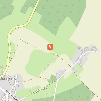
At the bottom, turn left. Continue along the road then take the D31. Take the D222 on your left, then the track on your right for 300m, then follow the bend to the right.
7- In Hautefeuille, go straight ahead till you reach the road, then bear right for about 250m, take the first track on your right. At Le Montcel, head left to get back to Sablonnières church.
