Alert
Alerts
Around Longchaumois
Description
Staying on the Longchaumois plateau overlooking the Bienne, this rather long but relatively easy tour links together the hamlets which always provide a route to return to the village in order to shorten the circuit.
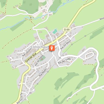
From the Information Point, near the Post Office (“La Poste”) in LONGCHAUMOIS () , head to “la grande Rue”, turn right and then left towards the Cheese Dairy (blue MTB waymarking no. 28), to take the road to Le Nid.
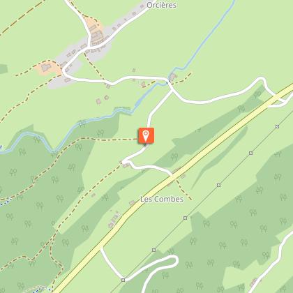
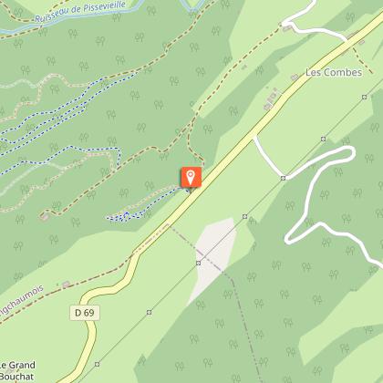
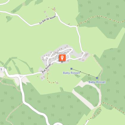
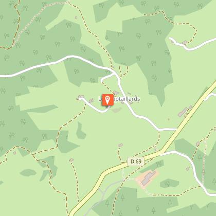
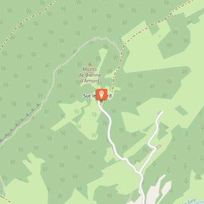
Continue on the road to the left and head to ORCIERES via Maison Gauthier, Route d’Orcières and Froide Fontaine.The road to the left crosses over the Pissevieille rivulet. Ascend the path to the right towards Sous le Daim, before reaching the BIKE PARK DEPARTURE POINT (BIKE PARC DÉPART).Follow the D 69 to the left, and at Les Combes, head up the white path to the right. Head past “en Pissard” and head to la Combe de Servagna. The Road to the left at the bottom of the combe (an old sandpit is on your right) will lead you to Adrets des Riasses. Continue straight on the forest path before coming to Les Os.Branch off left towards Tavaillonnette. (To quickly reach Longchaumois, continue straight taking the path and then the road). Follow a trail to the right which borders the road, and then turn right before left onto a grassy path that will lead you to a crossroads. Cross over and follow the road until you come to ROSSET.Follow the road to your left which, after a short ascent, heads down to Novet le Bas. Turn right and follow this rolling path until you come to the Le Cul de Sac hamlet. Head up the road to the left and follow the road via les Séchets to reach La Vigne.Continue straight on this road for 350 m and take a grassy path to the left which heads around the back of La Ruchette. Continue until you reach the Les Adrets crossroads.Continue straight for 500 m and join up with a road that heads down to the D 69. Cross with care, head between the houses and down the path and road that will lead you to BAPTAILLARDS. Continue on the road through the hamlet before taking a sharp left turn before the last house, following a stony path. When you reach a path, turn right, head between the Souillet farms and continue past Sur le Villard. Head down the road to Le Nid. Enter LONGCHAUMOIS via the road to your left.
Technical Information
Altimetric profile
Starting point
Points of interest
Additional information
Public transport
To visit and get about in the High-Jura, visit www.reshaut-jura.fr, the eco-mobility portal listing all means of transport within the Park.
Advice
For an MTB outing, wear a helmet and bring enough water.Paths are shared with pedestrians and horse riders, who have priority, therefore, please adapt and control your speed. To use MTB paths, do not hesitate to get down from your bike. This trail passes through pastures and forest paths. To respect the owners and farmers granting you passage, and for the security of livestock and wild fauna, we ask that you remain on the waymarked paths and close gates behind you where there are no MTB paths. Wild flowers are beautiful, they may be rare and protected and often wilt quickly. Do not pick them! They will delight the next admirers.In case of forest works (felling, skidding, etc.), for your safety, know when to stop and turn around.
Advised parking
Leisure area, opposite the D 69 intersection
Access
15 km north of Saint-Claude via the D 69 through Cinquétral and 13 km south of Morez - Hauts de Bienne via the D 69 through La Mouille.
Arrival
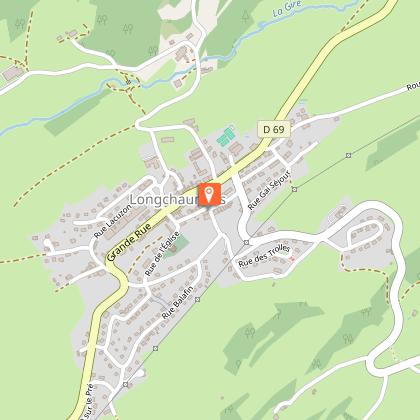
Longchaumois information point
Ambiance
The long pastures still mark this landscape, which was cleared as from the Middle Ages, and stretch out into combes used for agricultural purposes around the village of Longchaumois. It is said that these pastures gave the village its name: longa calma during the 7th century or “longue chaume” (long pasture).
Departure
Longchaumois information point
