Alert
Alerts
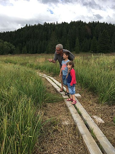
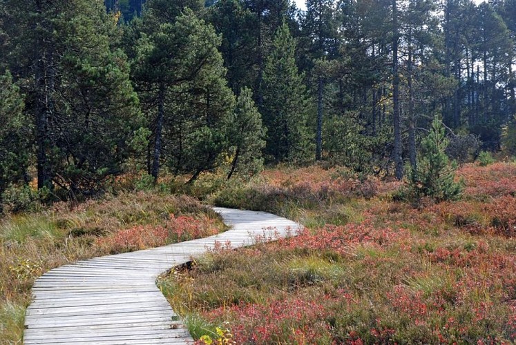
Lakes and peatbogs
IGN cards


Description
Discovering the triptych: peat bog, lake and mountain forest!
In front of the Duchet holiday village, exit the car park to find the RD 232 towards the hamlet of Les Piards.Turn left towards the place called "Les Fans". Descend to the bottom of the valley and reach a junction, Route de la Faicle.Follow this one, on the left, in the direction of Chaux-des-Prés.Turn left onto the D 146, cross the village of Chaux-les-Prés and arrive at the junction indicating Château-des-Prés (D 28) on the right.Follow the road to Château-des-Prés, admire the Douillons bog from the belvedere on your right. Continue on the D 28 until the arrival of Château-des-Prés.Take, in front of a wayside cross, a motorable path on your left: follow it passing near house no. 10 and come out on the D 437.Carefully cross the departmental road to take the white path which is in the right bend of the road. At the next crossing, turn left and cross the Pré Basset. At the edge of the wood, continue to the right and arrive near a building.Turn left and quickly find a forest road. Take it to the right and reach the Belvédère du Moulin.Take advantage of the viewpoint over the Lac de l'Abbaye and the valley of Grandvaux then continue on the forest road.At the crossing, turn right and cross the hamlet of Les Cernois.At its exit, you will have to reach the site of the Abbey of Grandvaux on the left.After 150 m on the D 437, take a small paved road to the right. Continue on this road to circumvent the lake by the South (a beautiful point of view awaits you in height in the South of the lake) and join the hamlet les Bez by following the first track on the right.Turn right, carefully cross the hamlet and continue to n° 3. Opposite, a sign indicates the direction of Prénovel de Bise via a forest road.Continue on this one ignoring the secondary departures on both sides and find the bitumen.Continue a few meters to the left then fork on the first track on the left. Follow it straight until you reach an inverted Y fork.Go to the right and, at the exit of the forest, continue straight ahead and reach the "Les Cuinets" sign post.Take the path on the left and arrive at the Chalet du Bief Plotet.Go straight on for a few meters then take the track on the left and enter the hamlet of Prénovel de Bise.At the level of the fountain (unsupervised water), cross the D 28 carefully and follow the small road to the first path on the left. Follow this one which passes close to the peat bog of the Nanchez reach.At the fork, after the power line, turn right and continue straight until you reach a fork after the sewage treatment plant.Continue straight, cross the Vuillomets and find the parking lot of the Prénovel village hall.
Technical Information
Altimetric profile
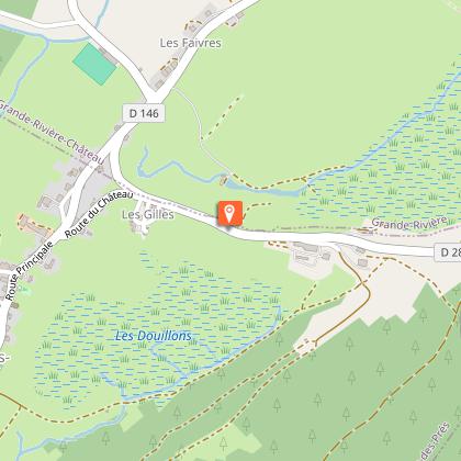
Starting point
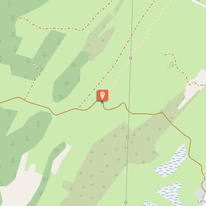
Points of interest


Additional information
Ambiance
Departing from Prénovel, this route crosses characteristic landscapes of the Haut-Jura: areas of pasture, forests, valleys, peat bogs and crests. The interpretation trail of the Nanchez peat bog, a few minutes from the route, will make you discover this surprising natural environment, so precious to preserve because it is home to a rich variety of plant and animal species. The hike is enhanced by the passage to the belvederes of the Virgin and the Mill, arranged on the high points of the circuit. These belvederes will allow you to discover the peaks of the Haute Chaine du Jura and the Alps in clear weather. This Jurassic Velo Tours route has digital guidance only. You will not find any markings on the ground. Let yourself be guided with the Jurassic Vélo Tours app, which can be downloaded for free from Google Play Store and App Store.
Arrival
Prénovel, Le Duchet
Departure
Prénovel, Le Duchet
