Hoxahandia


Description
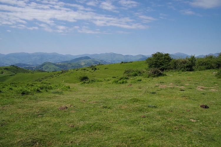
At the limit of the plain and the mountain, discover the peaceful village of Iholdy. The historical heritage is rich with the manor of Elizabelar or the castle of Olce. This is the start of this beautiful hiking route. On the program, and depending on the period you come, cows, pottok, ewes and vultures will be there. Indeed, the Basque mountains are very pastoral, so the herds are very numerous. Your most beautiful reward will be without doubt a panorama of a large part of the Basque mountains, including the Pic d'Orhy or the Iparla ridges.
Technical Information
Altimetric profile
Starting point
Steps
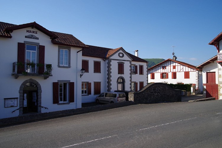
Départ
Depuis le parking du lac, prendre à gauche la route qui sort du village. Poursuivre pendant quelques mètres et arriver à une intersection de routes.
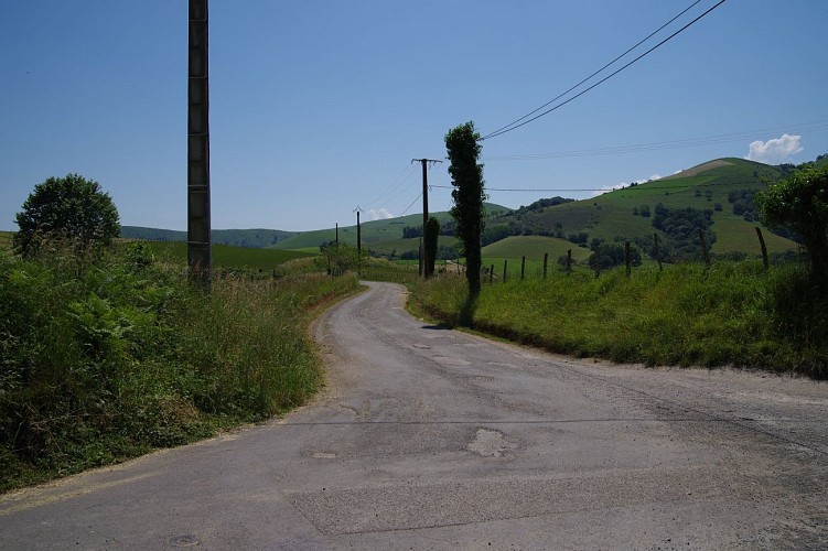
Route panoramique
Prendre à gauche et suivre cette route pendant 1,4 km environ.
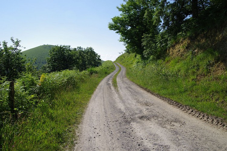
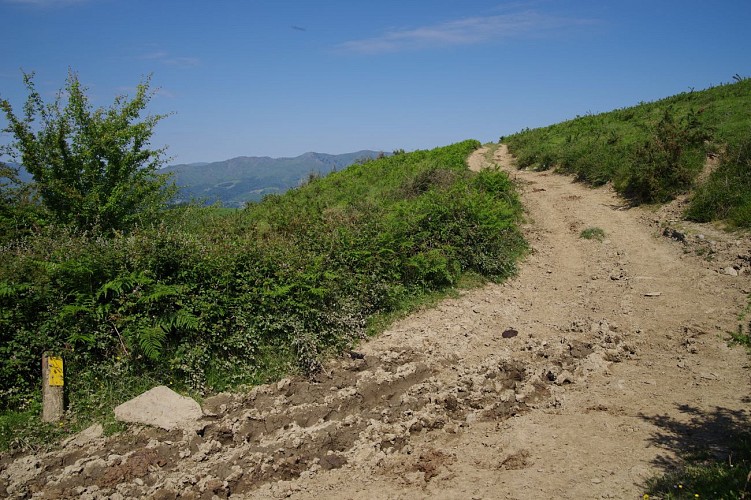
Piste
Depuis ce croisement, suivre la route de droite qui monte en pente raide. 400 m plus loin, la route devient une piste et se poursuit à flanc de montagne en pente plus douce jusqu'à rejoindre un col.
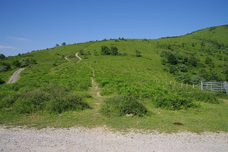
Montée au sommet
Prendre à droite juste après l'enclos métallique et remonter la pente, qui mène jusqu'au sommet d'Hoxa Handia (577m).
Ligne de crête
Au sommet, la vue est très belle et porte jusqu'au sommet du Pic d'Orhy ou encore aux crêtes d'Iparla. Commencer la descente en suivant la ligne de crête vers le Sud-Ouest. 500 m plus loin, prendre à gauche une piste qui quitte la ligne de crête pour passer légèrement en contrebas. 500 m encore plus loin, la piste est plus marquée mais chaotique. Continuer la descente, et 100 m plus loin, rejoindre une nouvelle piste.
Descente raide
Prendre à droite pendant 250 m. Portion de descente assez courte mais très raide pour rejoindre le col Hiruraitzeta.
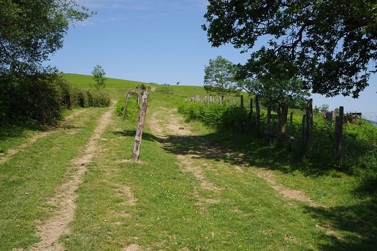
Piste forestière
Au col, prendre la piste de droite qui mène jusqu'à des palombières 200 m plus loin. Prendre alors à droite, la piste caillouteuse qui descend en direction du village d'Iholdy. 1,75 km à une intersection.
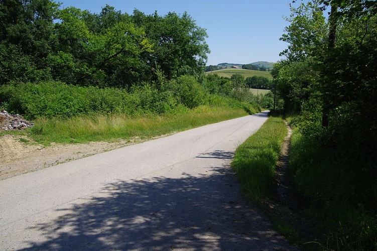
Retour au village
Rejoindre alors une route plus large qu'il faut suivre sur la droite. Passer à côté du Château d'Olce, continuer jusqu'à rejoindre le point 1.
Points of interest

Les châtaigniers
Le châtaignier est un arbre assez répandu en moyenne montagne. Il peut mesurer jusqu'à 20 ou 30 mètres et vivre plusieurs centaines d'années. Son fruit, la châtaigne, a joué un rôle important dans l'alimentation en Europe car elle peut être consommée de différentes façons. Elle peut même être transformée en farine pour faire du pain, ce qui fut le cas en période de disette.

Plan d'eau
Agréable plan d'eau qui permet de faire une belle pause fraîcheur au retour de votre randonnée. Sa superficie est de 1.2 hectare et sa profondeur de 3 mètres. Parcours boisé, une partie du lac est ombragée, aire de pique nique. La pêche y est autorisée. On y trouve des truites fario et des truites arc-en-ciel.
Additional information
Balisage
Yellow
Trait - Balisage directionnel sur supports locaux
Typologie de l'itinéraire
Loop
Thèmes
Natural
Durée moyenne de l'expérience
Over 4 hours
Animaux bienvenus ?
Oui
