Alert
Alerts
4-day hike: The Mediterranean side of Aigoual
Description
Climb up to the highest, wildest point in the département, then gently descend the ridges overlooking the Cévennes. It's not enough just to walk! Look up! Open your eyes! Awaken all your senses! The gift is here!
To complete this 4-day itinerary with an ecological approach :
Transports liO - Occitanie: fare 2€.
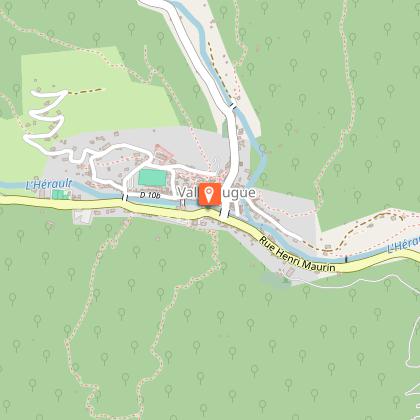
Nîmes - Pont d'Hérault: bus no. 140 - Pont D'Hérault /Valleraugue: bus no. 108
St Jean du Gard - Nîmes: bus line 112
Hiking
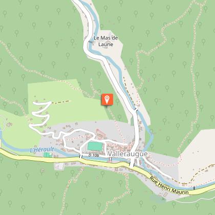
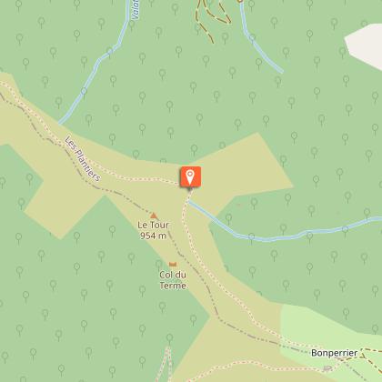
- Day 1:
Valleraugue - Sommet de l'Aigoual - Aire de Côte: 13.8 km with bivouac at Aire de Côte (yellow markings then GR®).
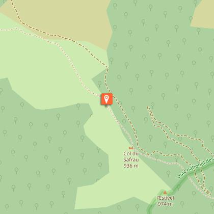
- Day 2:
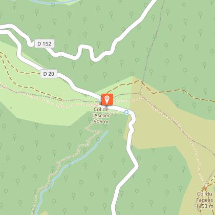
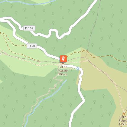
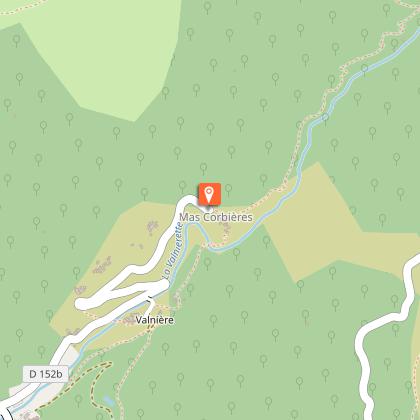
Aire de Côte - Mas Corbière via GR® 6 and GR®67 (white and red markings): 13.9 km.
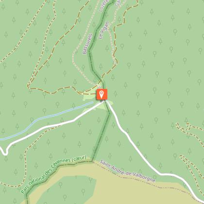
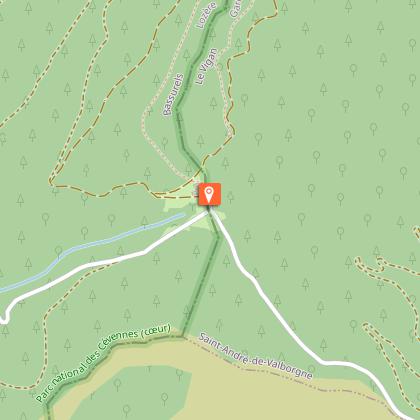
- Day 3:
Mas Corbière - Lasalle via Colognac, on GR®6 and 67 then GR®63 (white and red markings): 17.8 km.
- Day 4:
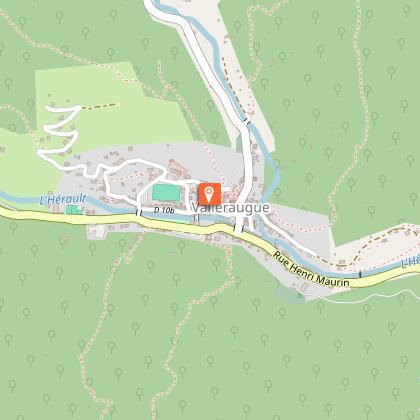
Lasalle - St-Jean du Gard via Ste-Croix de Caderle (Yellow signposting then GR®61 signposting): 11.8 km
you can extend your rando itinérances trip by leaving from Camprieu (1 day) or Lanuéjols (4 days).
the "4-day hike: in the footsteps of local people" circuit
Please contact me...
Information from the Mont Aigoual Causses Cévennes Tourist Office, St André de Valborgne office.
Technical Information
Altimetric profile
Starting point
Steps
Points of interest

Additional information
Open period
All year round daily.
Updated by
Office de Tourisme Mont Aigoual Causses Cévennes - 24/02/2026
Report a problem
Environments
Forest location
Mountain location
Contact
Phone :
04 67 64 82 15
04 66 60 32 11
Email : standredevalborgne@sudcevennes.com
Website : https://destination.cevennes-parcnational.fr/trek/96851-Versant-mediterraneen-de-l-Aigoual-(4-jours)
Type of land
Rock
Stone
Ground
Not suitable for strollers
Location complements
Car-free tour. Departure from Nîmes by Bus with LiO
Topo guides and map references
Map references :
TOP 25 IGN 2641 ET (Mont Aigoual) and TOP 25 IGN 2741 ET (St Hippolyte du Fort)
Reception complements
Where to sleep :
Sommet de l'Aigoual: www.stationaltiaigoual.com
Aire de Côte: Authorized bivouac area (dry toilets, water), no on-site catering.
Mas Corbières: 06 22 72 14 78 contact@mascorbieres.comwww.mascorbieres.com/
Gîte d'étape à la Cure: 04 66 30 05 78 coordination@lasalle.frwww.lasalle.fr
Tricky passages
*Bring water for each day.
