Alert
Alerts
Le chemin du feugnot


Description
This route alternates between the valley bottoms and the ridge paths, from which you can see all the way to the Moselle hills. Made up of dense shrubby vegetation, the reverse side of these ridges is home to wild boar, who come here to feugner, as they say in Lorraine (turning over the earth to find food).
Technical Information
Altimetric profile
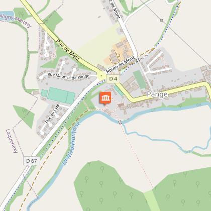
Starting point
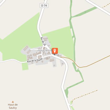
Points of interest

Additional information
Producteur de la donnée
Ces informations sont issues de la plateforme SITLOR - Système d’Information Touristique - Lorraine
Elles sont synchronisées dans le cadre du partenariat entre Cirkwi, l’Agence régionale du Tourisme Grand Est et les membres du comité technique de Sitlor.
Contact
Email : contact@moselle-attractivite.fr
Data author
