Alert
Alerts
The Heights of Chalmaison
Description
"I love the Voulzie and its woods black with berries " the poet Hégésippe Moreau once wrote. You can reflect on these words as you walk through the undergrowth towards the impressive railway viaduct and the Longueville
Living Railway Museum...
Technical Information
Altimetric profile
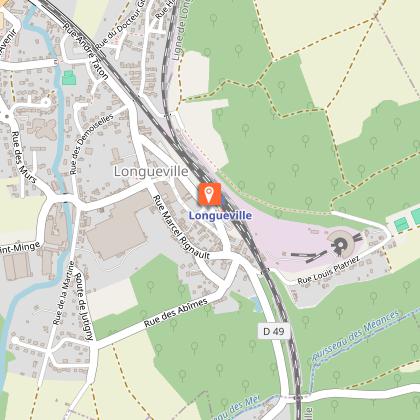
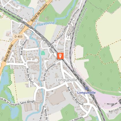
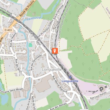
Starting point
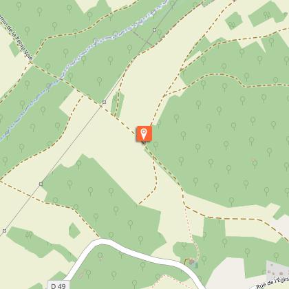
Steps
Additional information
Tips
• Do not leave the marked paths.
• If there are any doubts regarding which path to take, markings take precedence over the description.
• Respect nature and private property.
• Don't litter.
• Avoid routes during hunting season (check with the town halls or the Seine-et-Marne hunting federation).
• Close gates and fences after you.
• Whenever possible, remove any obstacles from the path..
Contact
Phone : 01 64 60 26 26
Email : info@provins.net
Website : www.provins.net
Updated by
Provins Tourisme entre Bassée, Montois et Provinois - 11/06/2025
www.provins.net
Report a problem
Open period
All year round.
Guidebook with maps/step-by-step
1- Turn right on Rue de Verdun and Rue Henri-Fouilleret.
2- Turn right on Rue l'Amourée under the viaduct, then right
again on Rue Adrée, go under the railway bridge.
3- Follow the path overlooking the station on the right.
Walk down the road to the stadium. Turn left and walk along the stadium, continue for 1 km. At the junction, turn right, cross a stream, pass under the high voltage line to an intersection.
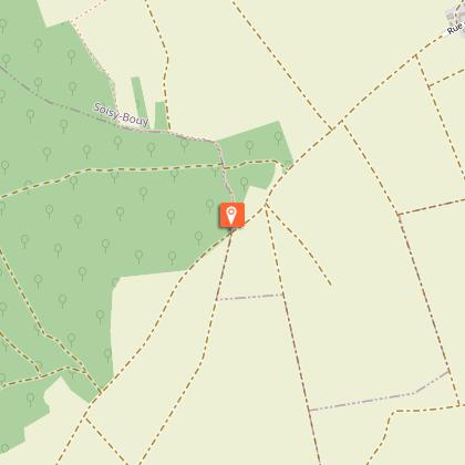
4- Continue across the street and turn right to reach the charming church of Soisy-Bouy, alone at the edge of the woods, away from the village. Further down lies a "miraculous" spring which was once a pilgrimage site. Follow D49 to the left for 100 m. Turn right and take the first lane on the left. After 500 m, turn left again, continue straight towards the woods, follow the wood’s edge to the left enter underbrush.
5- At the corner of the wood, turn left and continue 400 m, then turn right (during hunting season, continue straight to cross the landmark at the crossroads). Walk to a wood, turn right, then take the road down to the intersection. Follow the road to the right, then the path to the crossroads.
6- Follow the road to the right, at the crossroads, turn left and then right at the fork. Walk through the woods, follow the path on the left and then the one on the right. Turn right and, 20 m further on, turn left.
At the bottom, turn right and continue 200 m back up towards the woods (very nice view of Bassée). Walk along the wood’s edge for 80 m, then walk down to the left to a crossroads.
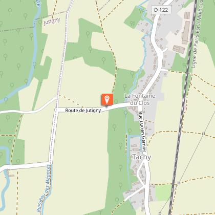
7- Turn right and continue along the edge of the woods. At the end, walk down to the left, then turn left. Pass under the railway and cross D122. Turn right on Rue du Château, follow D122 to the left, then left on Route de Jutigny.
8- Upon leaving Tachy, turn right at the edge of the woods and continue. At the crossroads, take the road to the right and continue on Rue des Abîmes. Take a left on Rue André Pineau and right onto Rue de Verdun, which leads back to the train station.
