Alert
Alerts
Discovering Saint-Loup-de-Naud
Description
This hike, with its varied landscapes, leads to Saint-Loup-de-Naud, a village renowned for its rich built heritage: church, square tower, fortified farmhouse, mansions...
Technical Information
Altimetric profile
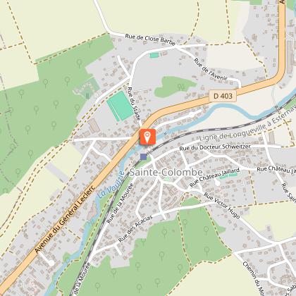
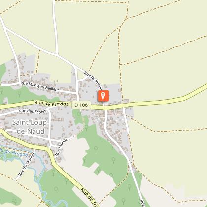
Starting point
Steps
Additional information
Tips
• Do not leave the marked paths.
• If there are any doubts regarding which path to take, markings take precedence over the description.
• Respect nature and private property.
• Don't litter.
• Avoid routes during hunting season (check with the town halls or the Seine-et-Marne hunting federation).
• Close gates and fences after you.
• Whenever possible, remove any obstacles from the path.
Contact
Phone : 01 64 60 26 26
Email : info@provins.net
Website : www.provins.net
Updated by
Provins Tourisme entre Bassée, Montois et Provinois - 11/06/2025
www.provins.net
Report a problem
Open period
All year round.
Guidebook with maps/step-by-step
1- From the car park, cross the street and take the path opposite which runs along the Voulzie. Follow the road to the right, pass under the Longueville viaduct and turn right.
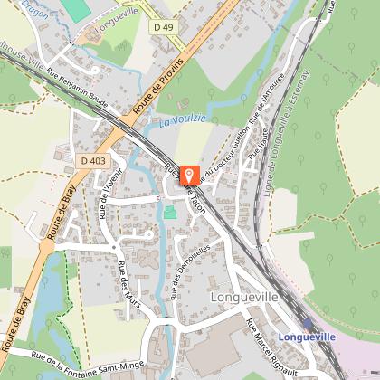
2- Walk along the viaduct. At the traffic light, go right, pass under the bridge, take the road to the left and the path it turns into. Parallel to the watercourses, it becomes the street that leads to Saint-Loup-de-Naud. Cross D106 (view of Saint-Loupde-Naud village on the right), then turn right, cross Dragon bridge. Turn left, continue past the road to the right and the one to the left (at the end of the road in the picnic area, near the wash house on the edge of the Dragon and the catchment area for the Dragon springs).
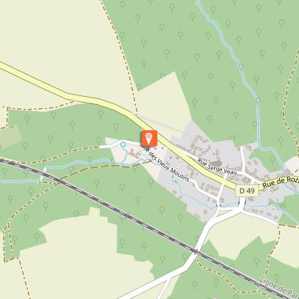
3- Climb the path on the right, cross D49 and go up the ramp opposite. Go right in the street. It runs along the church and leads to D106. Turn left, cross the stream and then turn left. Go up the 2nd path to the right.
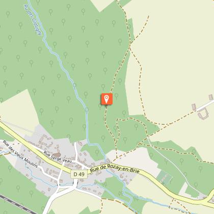
4- After 300 m, turn right into the path and continue climbing up through the undergrowth to the crossroads. Continue straight 200 m. Turn left and stay along the wood; continue past the path to the right and enter the hamlet of Courton-le-Haut. Take the second street on the left, then on the right and follow the path as it continues to meander between the gardens. Turn right into the street, on the path on the left, and right in the street.
5- Cross D106 by a left-right and then take the path to the left.
In the street, make a right-left to follow the path through the fields. It leads to another path. Follow it and then continue left along the edge of a wood. Walk down the road to the right, then the one to the right at the crossroads and walk along the wall of the former leper colony of Close Barbe. Cross D403 and reach the railway stop.
