From top of Jaillet to the village
Description
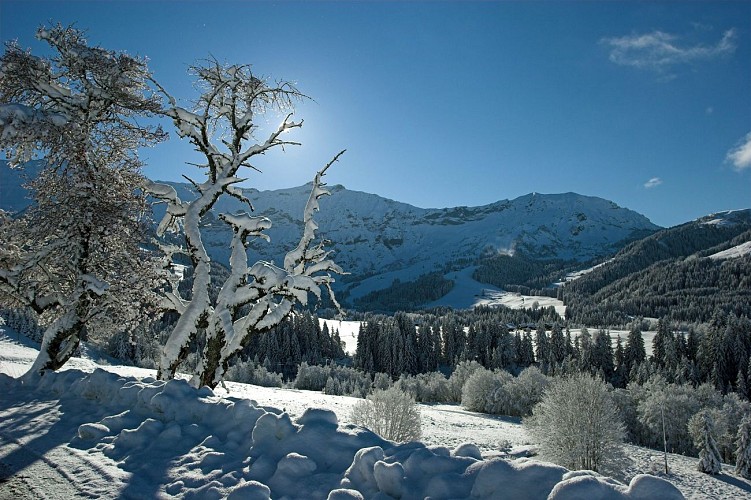
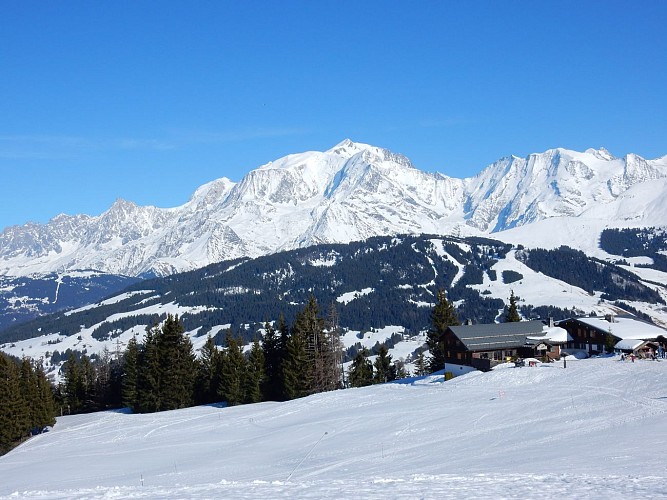
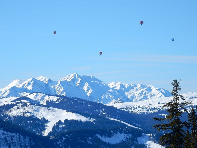
Easy walk offering fantastic views over the village, Mont Blanc and Chamonix aiguilles.
Take the Jaillet gondola. From the top, take the footpath on the left, following the slope "Les Prés".
It leads to a walk in the woods, and then goes along and crosses the slope Bel Ava. At the end, keep going down on the Jaillet road, with great views overlooking Megeve and Mont Blanc range.
Technical informations
6 km
|
min. 99999 m
79 m
531 m
| |||
Accessibility |
Altimetric profile
Starting point
Points of interest
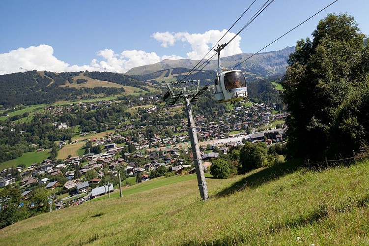
Jaillet gondola
With the Jaillet gondola, in few minutes, you are 1 585 meters high. At the top, panoramic playground. Welcome to hikers and mountain bikers.
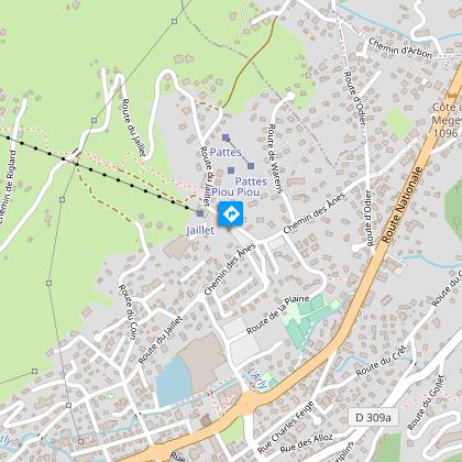
Aerial car park of Jaillet
Outdoor carpark down the cablecar of Jaillet. Limited to 7 hours with a disk. 3 places materialized for people with reduced mobility.
Additional information
Updated by
Mairie de Megève - 08/03/2024
mairie.megeve.fr
Report a problem
Tips
Free Meg-bus to go to the Jaillet gondola.
Environments
Near shuttle stop
Close to a public transportation
Reception conditions for animals
Dogs on leash only
Open period
From 19/12 to 01/04
Topo guides and map references
Map references :
Footpath number 3 on the "winter hikings and walkings in Megeve" map, available at Megeve Tourisme.
Type of land
Groomed trail
Contact
Phone : 04 50 21 27 28
Email : megeve@megeve.com
Location complements
Meg-bus stop "Télécabine du Jaillet", access to the trailhead via the télécabine du jaillet (in season) or via the sentier du jaillet (out of season due to lift closure).
Data author
