Alert
Alerts
Menat country loop-around: stage 4 Blot L'Eglise - Les Fougeroux
Description
The Boucle du Pays de Menat starting from Servant is a 124 km itinerary in the heart of the Sioule and Combrailles gorges.
This fourth stage of 24.5 km connects Blot l'Eglise to the hamlet "Les Fougeroux" in the commune of Neuf-l'Eglise.
Stage 4: Blot-l'Eglise / Les Fougeroux: 24.5 km - 7h00
Departure point: Leave the village on the main street, turn right towards “Pouzol”, then left towards “les Tinants”. After two large masonry wells, take the gravel track to the right, and follow it to the road.
1 - Go straight ahead (old farm machine), turn left at the T-junction and continue as far as “La Villeneuve”. Turn right onto the dirt track that winds down into the Sioule gorges. At the road, turn right to the Lisseuil church.
2 - Opposite the church, fork right, then, after 50 m, go left, direction “Moulin des Iles”. The road turns into a track which leads up to the D109. Turn left onto the D109, then left again after 200 m, following the Sioule to Les Garachons.
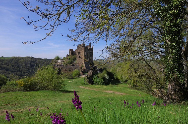
3 - An old, badly deteriorated road leads up to the D109. Take the wide dirt track opposite. At the T-junction with a road, turn left. At a crossroads with an iron cross, fork left towards “Château Rocher”. Château parking lot on the left.
4 - Take the grassy path down to the right of the parking lot (signposted “sans-issue”). Back on the D109, follow it to the right as far as a small Romanesque stone bridge.
5 - After the bridge, turn left. Descend along the basketball court, then follow the Sioule for over a km. At the end of the forest, take the wide rocky track rising to the right (view of Château Rocher). Cross the village of Biesse, staying on the main road. (well surmounted by a
cross on the right). At the main crossroads, take the road rising to the right towards “Vendoges”. At the fork in the road, follow the winding track to the right. Back on the road, turn left until you reach a crossroads.
6 - Turn right on the minor road to Neuf-Eglise, skirt the stadium on the right, and after 200 m, turn right on the grassy track (St Roch fountain) to the road.
7 - Turn right, then, after 150m, at a basalt cross, turn left onto the old, damaged road. At the crossroads, continue straight ahead until you reach a wide dirt track on the left (signposted “limitation 6T”), which you follow along a pond to a place called “Le Bouchat”. After the village, fork left onto the dirt track (signposted “limitation 3.5T”). Go past the Malguette pond and continue on to the D122, where you turn right for 700 m to “Les Fougeroux” (chambre d'hôte).
Technical Information
Altimetric profile
Starting point
Additional information
Environments
In the country
Riverside
Waterside
Updated by
Office de Tourisme des Combrailles - 22/09/2026
www.combrailles-auvergne-tourisme.fr/
Report a problem
Open period
All year round daily.
Contact
Phone : 04 73 85 80 94
Email : contact@tourisme-combrailles.fr
Website : https://www.combrailles-auvergne-tourisme.fr/
Type of land
Stone
Ground
Hard coating (tar, cement, flooring)
