Alert
Alerts
Loop around the Menat region: Stage 1 Servant - St-Gal-sur-Sioule
Description
Leaving from Servant, the Boucle du Pays de Menat is a 124km road through the heart of the Sioule gorges and the Combrailles. This first 21km stage links the towns of Servant and Saint-Gal sur Sioule.
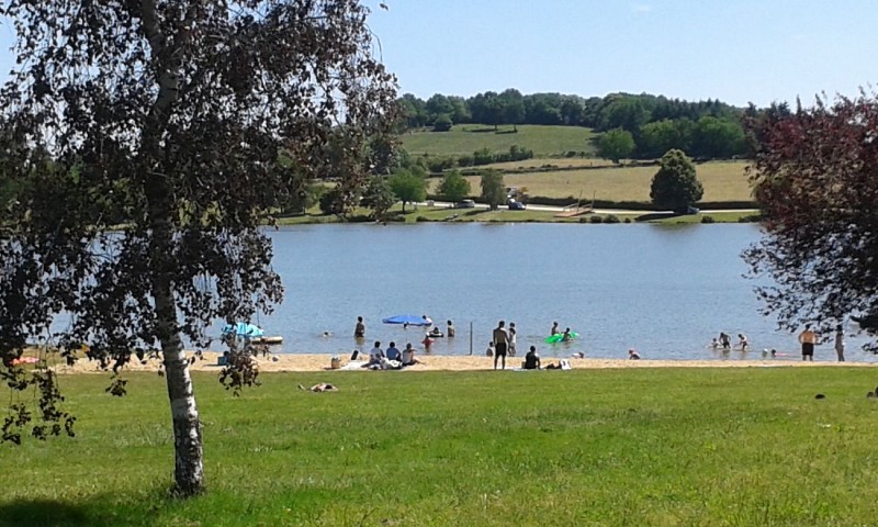
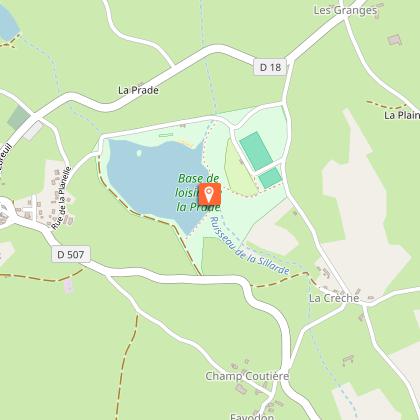
Stage 1: Servant (Étang de la Prade) / St-Gal-sur-Sioule: 21 km - 6h00
Start: Take the dirt track opposite the lake, around it to the south. At the end of the track, turn left and go straight on to join the main road. Follow it to the left. At the fork, turn right in the direction of Favodon for 50 m, then fork right onto a wide dirt track. Follow the road to the right as far as “La Jozelle”.
1 - Go left down the road through Crozet. Go straight on, then right on the small road to Les Bournats. Cross the hamlet and head opposite on the downhill track to the D915, which runs alongside the Sioule. Turn right to reach the Pont de Menat. After the water sports center, go straight ahead at the bend to join the D2144. Turn left to cross the bridge over the Sioule.
2 - After the bridge, turn right, then left after 50 m at the information sign. Cross the road and continue straight ahead on the dirt track. At the T-junction, turn left, then right at the road. Shortly afterwards, take the wide track down to the left and cross the locality known as “La Bussière” (remarkable tree on the left).
3 - At the end of the village, turn left. After 200 m, take the dirt track on the left (view of the Sioule gorges). At the end of the track, take the path on the right. Follow the road down to “Lavaux”. At a ruin, fork right onto the track, then immediately left at the fork.
fork, turn left. After 500 m, take the small track that descends to the left towards the Sioule gorges. At the fork, turn right onto the steep track. After a short climb between two rock faces, a lookout offers a breathtaking view of the Sioule.
4 - Continue uphill until you reach a wider track, which you follow to the left until you reach the road. Follow it to the right for 100 m, then turn left. Continue straight on, past the microlight take-off runway, to the “T” junction.
5 - Turn left. At “Les Tabarias”, turn left, then immediately right. As you go downhill, turn right onto the small perpendicular road, which turns into a dirt track after 50m. At the road, turn left. Shortly before the sign for the village of “Saint-Gal”, take the grassy path leading off to the right, then turn left at the first crossroads. Go around the church to the left and take the road leading downhill opposite. Reach the bridge, pass under it and follow
along the Sioule to the road.
Technical Information
Altimetric profile
Starting point
Points of interest
Additional information
Environments
In the country
Lakeside or by stretch of water
Waterside
Updated by
Office de Tourisme des Combrailles - 02/06/2026
www.combrailles-auvergne-tourisme.fr/
Report a problem
Open period
All year round daily.
Contact
Phone : 04 73 85 80 94
Email : contact@tourisme-combrailles.fr
Website : https://www.combrailles-auvergne-tourisme.fr/
Type of land
Stone
Ground
Hard coating (tar, cement, flooring)
