Alert
Alerts
Cap Noir - Roche Verre Bouteille


Description
DURATION: 3-hour round trip
Ascent: 300m
Descent: 296m
ITINERARY
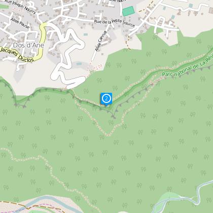
From La Possession, take the direction of Dos d'Ane.
On arrival at Dos d'Ane, turn right onto the Cap Noir forest road.
The car park is at the end of this road.
• By bus: Kar'Ouest - Ligne 8A from the bus station at Le Port, bus stop: Cap Noir.
From the car park, walk to the rampart. Take time to admire the wonderful panorama on the river bed of the Rivière des Galets.
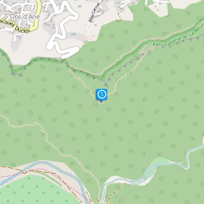
This short excursion is an excellent way to see the south of the Cirque de Mafate without expending a lot of effort. This is a classic trip that tourists on short stays, or those who are not experienced walkers, are often advised to do. The journey is not long, there are several steep areas requiring effort, but these are very short.
The Cap Noir is a remarkable precipitous peak, belonging to the Piton des Neiges range.
It appears like a corner on the mountainous rampart, separating the Dos d'Ane plateau in the north with the Rivière des Galets in the south.
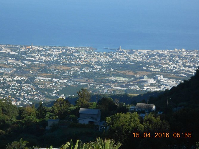
At over a thousand metres high, overlooking the Galets river, it is one of the possible entry points to explore the hidden splendours of the La Réunion National Park. Along with Maïdo, the Cap Noir is one of the most beautiful viewing points in the Cirque de Mafate.
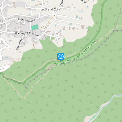
On the side of the rampart, you will see the Canalisation des Orangers aqueduct.
Discover the Cap Noir and its breathtaking view over the Cirque de Mafate, La Roche Écrite, Le Grand Bénare, Le Cimendef and also Le Gros Morne and Le Piton des Neiges. An orientation table will help you recognise the different summits. You can take advantage of food stand to have a lunchtime break.
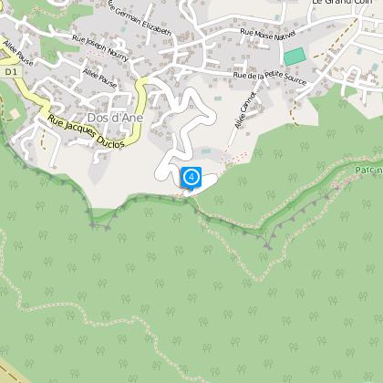
After the Cap Noir orientation table, turn left, go up the ladder until you reach the headland which has the shape of a bottle. By circumventing the Roche Vert Bouteille, you will reach a ridge where the view of Mafate on the left and Dos d'Ane on the right is quite simply magnificent. After several minutes descent, at the intersection, turn right and take the original path again down to the car park.
Practical information:
Leave early in the morning for the best view.
The car park is not guarded.
A few metres from the path you can try delicious Creole cuisine at the restaurant Poz O Cap Noir. This hikers' resting point, unique to La Réunion, has a shower at your disposal. This resting place is much appreciated by both the body and taste buds!
Technical Information
Altimetric profile
Starting point
Steps
Additional information
Skill
Experienced Hikers
