Alert
Alerts
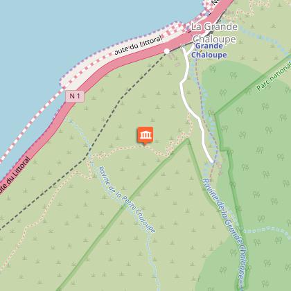
Chemin des Anglais


Description
DURATION: 5 hours round trip
Ascent: + 241m
Descent: - 256m
?
ITINERARY
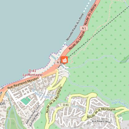
Take the exit road CD 41 - Route de la Montagne. Park in the small car park on the left.
?
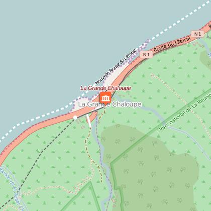
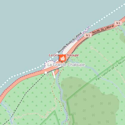
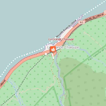
The most interesting way to get to La Grande Chaloupe is to go on foot via the Chemin des Anglais.
The Chemin Cr?mont or Chemin des Anglais is one of the numerous hiking paths on the island. It links La Possession town centre with La Montagne in Saint-Denis.
Very well-known by hiking enthusiasts, the path owes its name to Honor? de Cr?mont, Authorising Officer of La R?union in the second half of the 18th century. The path follows the edge of the rock face that forms the north-west coast of the island. It overlooks the coastline road from a great height. This paved path of around 8 km long, runs along the top of the rock face and overlooks the ocean. At the intersection, take the T?te de Tunel path and then the Cr?mont path.
?
Return possible:
using the same path
via public transport, Yellow coach - Line C.
?
HISTORIC FOCUS
This road is the oldest on the island. The work was carried out between 1730 and 1732. The Chemin des Anglais passes via the ?let de La Grande Chaloupe, one of its most famous sections. It was there that in 1810 English troops disembarked and took the paved paths to conquer the capital.
Since this event, the name "Chemin des Anglais" (English path) has been used for the whole path, which has been the property of the Department of La R?union since 1948.
?
Practical information: There is very little shade in the summer - ensure you have water, a sun hat and sun cream.
Modification test - English - 09/11/2016
Technical Information
Altimetric profile
Starting point
Points of interest
Additional information
Skill
Family Walk
