The Glacière from Le Maïdo
Description
DURATION: 4 hours 30 round trip
Ascents/Descents: 815 m - 11 km
ITINERARY
From the Route des Tamarins, follow signs for Le Maïdo. You have two options:
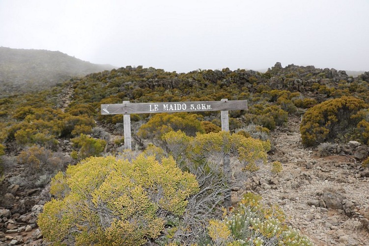
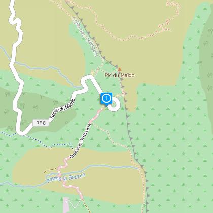
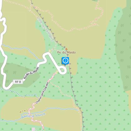
From Le Piton Maïdo: the path begins at the end of the car park on the right; the first ONF (Forestry Commission) sign indicates the path.
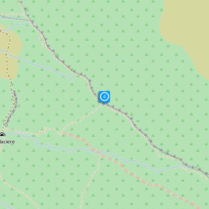
From the Route des Tamarins (2km after the Relais du Maïdo), turn right, you have reached the Route des Tamarins (direction Tévelave). Follow this road and park just before the Ravine de Bras Sec.
The route to Maïdo is well-signed from Saint-Paul.
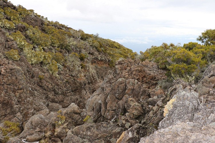
The ground is not easy. All along the route you will be walking essentially on scree.
The beginning of the path is marked with an ONF (Forestry Commission) sign. Continue straight ahead until Piton Rouge (1 hour 45). Go up towards Le Petit-Bénare. Do not take the left path towards La Glacière. 1 hour after leaving Le Piton Rouge, you will reach a ridge, follow it for several hundred metres, until Le Petit-Bénare.
HISTORIC FOCUS
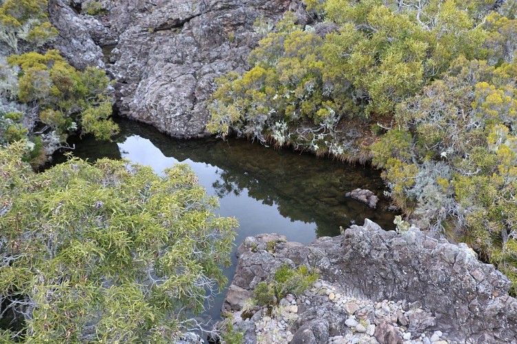
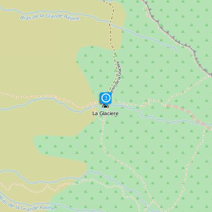
The Glacière site is a geo-climatic curiosity that is unique to the island. Around 1830, a certain Joseph Morénas dug large wells in the basalt rock high in the ravine. These wells were constructed with stones and lime mortar with molasses, which was used as cement at the time. As a result of the combined action of the summer rain and the winter cold, ice was formed.
Faced with this undeniable success, he requested the concessions for the land from several owners, who refused to sell, declaring that trading in ice, which had only been in use in Bourbon since 1820, could not be a monopoly and that it was only those who made the effort to get it who should profit from it
Subsequently the Glacière site was exploited by Mme Desbassyns. For transporting, the ice was crushed by slaves, then made into hard blocks of several kilos, and transported wrapped in wool, on the head, via perilous high roads. Abandoned since the middle of the 19th century, these wells are still visible today.
The ONF has secured the site with fences and steps allow you to descend onto the platform where two large wells are buried in the ground under a rocky spur which keeps them out of the sun. It is in these wells where the ice formed.
Practical information: Don't forget to wear hiking boots. This place is very dry and open, remember to take water and a sun hat or cap. It can also be cold, so take a warm jumper and a waterproof.
Technical informations
12 km
|
min. 99999 m
467 m
467 m
| |||
Styles : HikingMountain Public : Occasional hikersExperienced hikers | ||||
Altimetric profile
Starting point
Steps
Additional information
Skill
Very Experienced Hikers
