Alert
Alerts
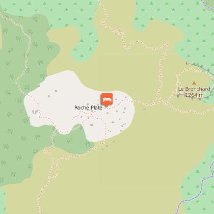
Roche Plate


IGN cards
Description
DURATION: 7 hours 30 round trip or 2 days
Ascent/Descent: 1030M (300M per hour)
ITINERARY
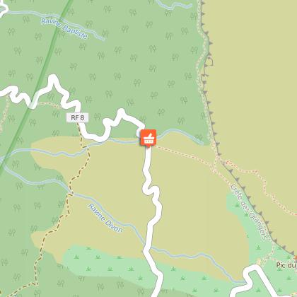
From Saint Paul, take the direction of Saint-Gilles-les-Hauts, and follow "Guillaume" and "Maïdo". Just before the viewing point, you will see a sign on your left and an inscription on the road showing you the beginning of the "Sentier Roche Plate". It is also possible to leave from the viewing point. The car park is not guarded.
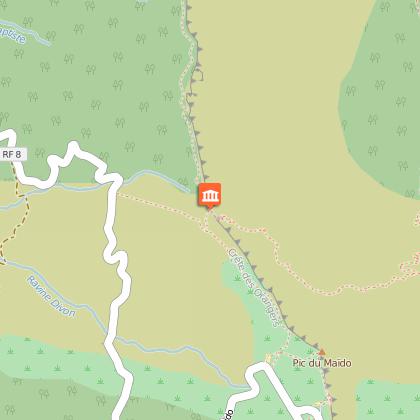
The path starts in quite an abrupt manner. The slope gets even steeper until "Ti Col", which you reach after 2 hours 15 mins walking, and here you need to turn right to Roche Plate, which you will reach after another 45 minutes. The return journey is by the same route. On the way there the path only goes down, so think about the return journey!
PRACTICAL INFORMATION: For average hikers, plan on staying overnight at Maïdo, Roche Plate
The gîtes can be reserved at the Office de Tourisme de l'Ouest.