Alert
Alerts
Balade patrimoine d'Arthez d'Asson : un village né de la forge


Description
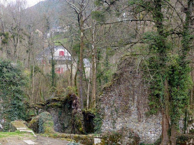
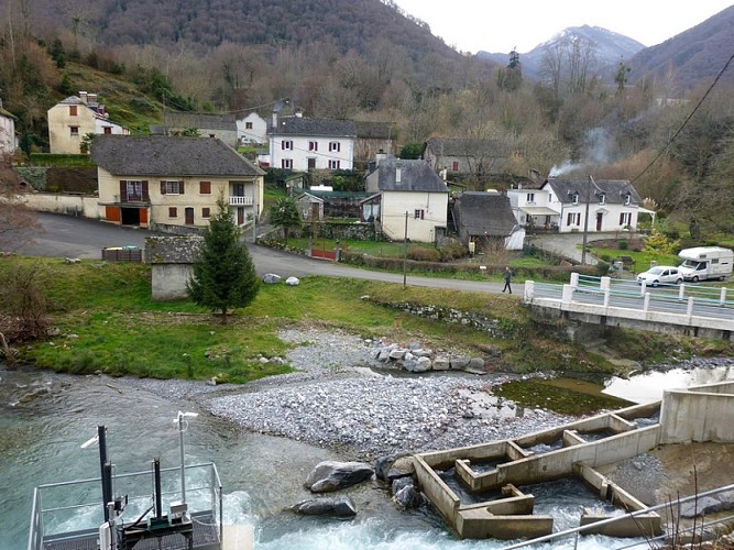
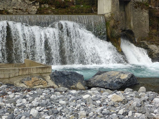
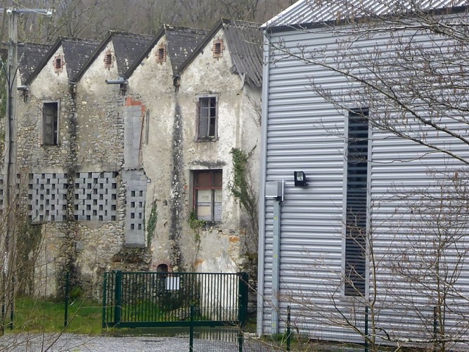
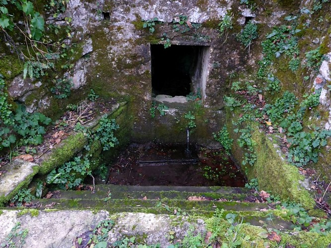
This walk around Arthez d’Asson in the Pays de Nay, at the gateway to the mountains, will lead you through an undulating countryside scattered with farms. The village with houses huddled together, with a neighbourhood near the water, born from the activity of the old forge.
Technical Information
Altimetric profile
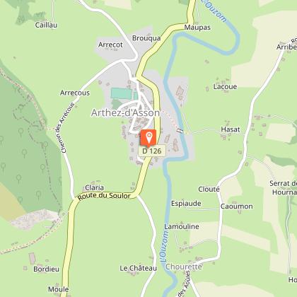
Starting point
Steps
Points of interest


Additional information
Typologie de l'itinéraire
Loop
Thèmes
Historical
Contact
Fixed telephone : +33 5 59 13 94 99
Office de tourisme communautaire
Web site (URL) : www.tourisme-bearn-paysdenay.com
Office de tourisme communautaire
Animaux bienvenus ?
Oui
