Hiking Panorama
Description
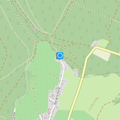
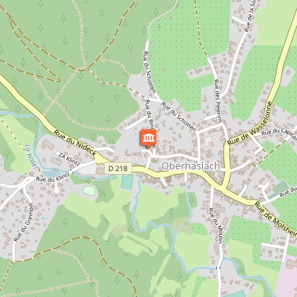
After Hostellerie Saint-Florent, on the left, take the rue des écoles. At the second crossroads, take a right, rue des sapins, and then a the left, rue des pèlerins. Rue de la source will then lead you to the edge of the forest.
Once at the forest, take the path on your left (the steepest) for about 200 m, this will lead to a small intersection. Continue straight ahead until you reach the next crossroads.
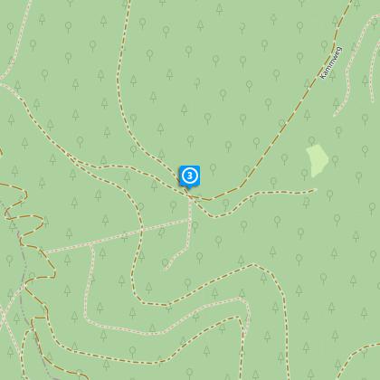
Then take the path marked with a yellow cross on the left leading up high (path steep). Climb about 1.7 km (most difficult part of the walk). Once you have reached the plateau, turn left after 100 m. Pfaffenlapp rock (663 m) will then provide a stunning view over the whole Alsatian plain, the valley of the Hasel and Bruche rivers.
To leave, take the path on the left marked with the yellow cross, which will take you to the “Brigadier Jérôme crossroads” (200 m further on). At this crossroads, turn left to reach a place called "Anlagen" (573 m) following the markings: yellow cross and yellow triangle, then blue for about a kilometre.
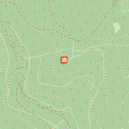
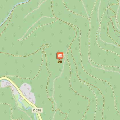
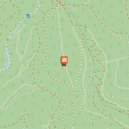
From there, take the left footpath, marked by a blue ring, which is about 50 m below the crossroads. The path that will take you to the top of the "Petit Ringelsberg" (641 m), passing some Gallo-Roman remains. Still following the blue ring markings, a small descent then a slight ascent will take you to the ruins of Ringelstein castle at the top of the Grand Ringelsberg (645 m).
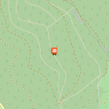
To descend, take the blue ring (about 400 m descent, be careful) then the trail on the right marked by a blue ring. As you walk, you will pass by the Hohenstein castle ruins. Continue for 300 m on the path marked by a yellow ring and then a yellow cross. Return to the village by taking rue Ringelstein until you reach rue Saint Florent. From there turn right, rue de la Croix (small alley with steps) which takes you to rue du Nideck (main street).
Technical informations
12 km
|
max. 664 m
min. 277 m
541 m
| |||||||||||||||
Styles : HikingDiscoveryFestive Public : FamilySportsmenOccasional hikers Themes : PatrimonyNature walk | ||||||||||||||||
Altimetric profile
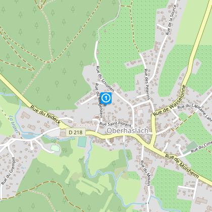
Starting point
Steps
Points of interest
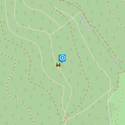
View point Pfaffenlapp Rock
Saint Florentius chapel
A Baroque-style chapel on the edge of the village, on the site of the St. Florentius' Hermitage. It houses many paintings offered to the eponymous saint, as ex-votos, to ask for his protection.
Data author
