Alert
Alerts
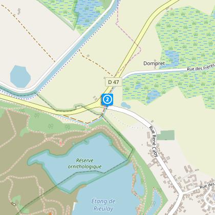
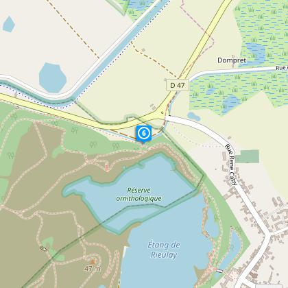
Eleven Cities Marsh Circuit


The Cirkwi brief
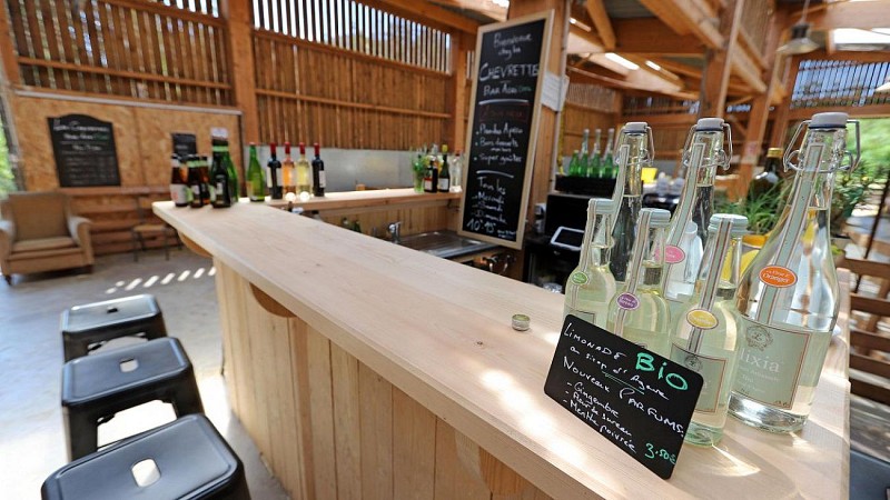
Embark on a journey to the heart of Rieulay, as proposed by Nord Tourisme, and embrace the serenity of its protected natural site with the Circuit du Marais des Onze Villes. This unique trail courses through a diversity of terrains, enabling both novice and skilled hikers to immerse themselves in an exceptional experience. The challenge of traversing moist ground enriches the adventure, demanding appropriate footwear. But it's more than a hike; it's an invitation to indulge in the local flavors at the charming Café Rando of Les Chevrettes du Terril. Let yourself be guided by this path where nature meets culture in a picturesque French landscape.
Essential Technical Route Info
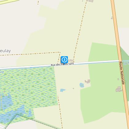
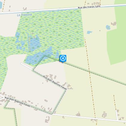
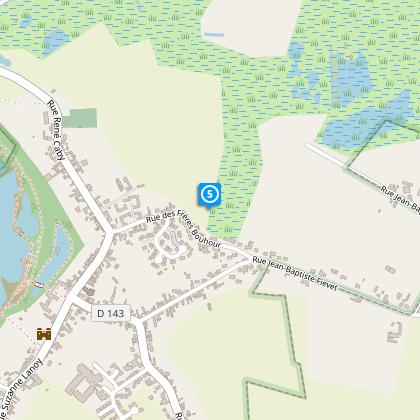
This 8.18km trail, marked in yellow, navigates through varying elevations from 17m to 34m, with a total positive and negative elevation change of 32m each. Designed thoughtfully to challenge and engage, it's crucial to be prepared for the terrain's inherent moisture and unevenness. The relatively short distance combined with mild elevation changes makes it accessible, yet the nature of the ground itself is where the true test lies. Acknowledging these details allows hikers to set realistic expectations and ensure a rewarding experience.
Seasonal Hiking Tips
As your local guide, I advise tackling this splendid trail from April to October for the most agreeable conditions. Spring's bloom and autumn's crisp air accentuate the marshland's beauty, ensuring a pleasant hike. Preparation is key; wear shoes designed for wet terrain and bring water-resistant clothing. Safety is paramount - always stay on marked tracks to protect both the ecosystem and yourself. Remember, the weather can change rapidly; checking forecasts before setting out is wise, as is packing essentials like water, snacks, and a first aid kit.
Rich Heritage of Rieulay Area
Rieulay, a town etched deeply in the Nord region's tapestry, stands out for its cultural and natural heritage. This territory, cradled within France's historic Nord-Pas-de-Calais region, is known for its resilience and vibrant history, from mining to marshland conservation. The Circuit du Marais des Onze Villes not only showcases the region’s stunning landscapes but also intertwines with the area's remnants of industrial past and its transition to nature-focused conservation. Hikers are invited to tread through paths that echo stories of times when coal was king, paying homage to the enduring spirit of the local community.
Visit Rieulay: Optimal Weather Insight
The Nord region experiences a temperate maritime climate, characterized by mild winters and moderate summers. The optimal time for hiking in Rieulay would be between April and October, when the weather is generally milder and rainfall is less frequent. This period allows hikers to fully enjoy the trail's natural beauty without the hindrance of excessive mud or uncomfortably wet conditions. Remember, the area's weather can be unpredictable, so always equip yourself for the possibility of sudden changes.