Alert
Alerts
Type of practice
Walking
3h
Presentation
Description
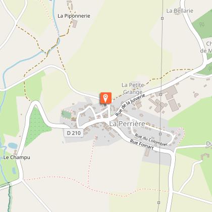
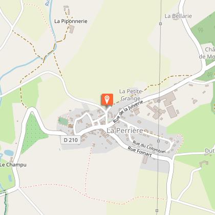
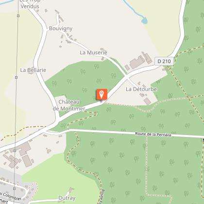
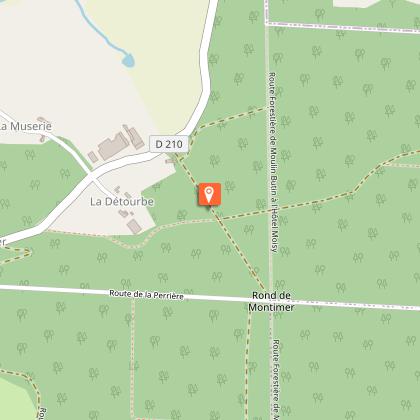
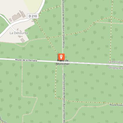
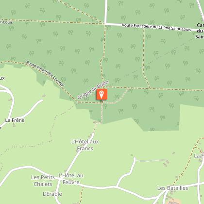
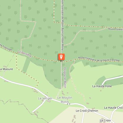
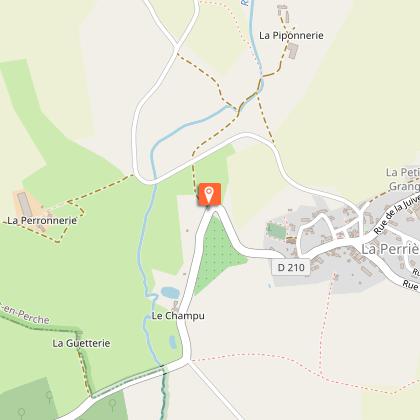
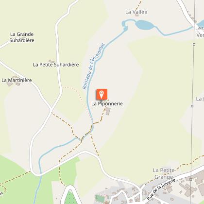
Map
Steps
Points of interest
Ratings and reviews
See around
Randonnée à pied à La Perrière - Circuit Le Chêne de l'Ecole


Credit : © Max Coquard-Bestjobers
Description
Bellême Forest extends over the gentle Perche hills. Covered with majestic oak trees, a piece of ancient Gaul still lives on here.
Technical Information
Walking
Difficulty
Not specified
Duration
3h
Dist.
11 km
Type of practice
Walking
3h
Show more
Altimetric profile
Starting point
Parking de la Poste
,
BELFORET-EN-PERCHE
Lat : 48.3894463Lng : 0.4424671
Steps
Points of interest

Additional information
Contact
Website : https://randonnee-normandie.com/trek/15-Le-chene-de-l-Ecole,-Le-Perche---Randonnee-a-pied
Email : tourisme61@orne.fr
Location
Village
Markup
Full route : Hiking - Yellow
Data author

Ratings and reviews
To see around