Alert

Alerts

To see around
See more
Open
Close
Show
Show
Show
Show
Show
Show
Show
Show
Show
Show
Show

Oups... It would appear that Cirkwi does not have permission to use your location.

Presentation
Description
Map
Ratings and reviews
See around

Ducey < > Le Mont Saint-Michel
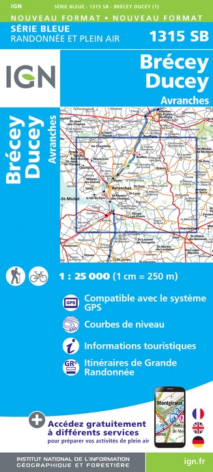
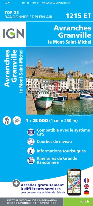
100.07-06-2009.17h35_S.Barrault-2
Ducey_Aire@T.PERNOT
Credit : Stephan BARRAULT

Description

Stage common to the Vélomaritime, the Véloscénie and the Vélo WestNormandy.

From Ducey, you will follow the mouth of the Sée and Sélune rivers to Pontaubault, where you will leave the greenway. You will then take small departmental roads with little traffic offering unique views of the Bay and the Mont Saint-Michel which have been classified by UNESCO as a World Heritage Site since 1979. Its diversified landscapes (foreshore, grasslands...) will make you travel in different universes.

Technical Information

Racing biking
Difficulty
Easy
Duration
1h30mn
Dist.
25 km
Show more

Altimetric profile

Starting point

Croisement de la voie verte avec la rue du Général Leclerc , DUCEY-LES CHERIS
Lat : 48.623676634Lng : -1.294076176

Additional information

Markup

Full route : Cycling

Data author

Image Attitude Manche
proposed by Attitude Manche
586 rue de l'Exode, Equinoxe 50000 SAINT-LO France

Ratings and reviews

To see around
See more
Open
Close
Show
Show
Show
Show
Show
Show
Show
Show
Show
Show
Show
Caution!
We have no information on the difficulty of this circuit. You may encounter some surprises along the way. Before you go, please feel free to inquire more and take all necessary precautions. Have a good trip! 🌳🥾