Alert
Alerts
Type of practice
Mountainbiking
Easy
1h45mn
Presentation
Description
Map
Ratings and reviews
See around
Le chemin des Tancrède

IGN cards

1313SB - SAINT-LÔ COUTANCES
Editor : IGN
Collection : TOP 25 ET SÉRIE BLEUE
Scale : 1:25 000
13.90€

1212ET - LA HAYE-DU-PUITS LESSAY
Editor : IGN
Collection : TOP 25 ET SÉRIE BLEUE
Scale : 1:25 000
13.90€
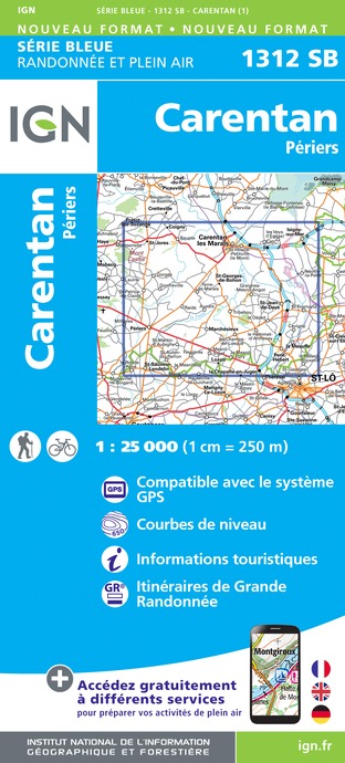
1312SB - CARENTAN PÉRIERS
Editor : IGN
Collection : TOP 25 ET SÉRIE BLEUE
Scale : 1:25 000
13.90€

VEL14 - LA MANCHE A VELO
Editor : IGN
Collection : DECOUVERTE A VELO
Scale : 1:100 000
9.10€

106 CAEN CHERBOURG-EN-COTENTIN
Editor : IGN
Collection : TOP 100
Scale : 1:100 000
8.40€

D50 MANCHE
Editor : IGN
Collection : CARTES DÉPARTEMENTALES IGN
Scale : 1:150 000
5.90€

NR02 NORMANDIE
Editor : IGN
Collection : CARTES RÉGIONALES IGN
Scale : 1:250 000
6.80€

801 FRANCE NORD OUEST
Editor : IGN
Collection : CARTES NATIONALES IGN
Scale : 1:320 000
6.10€

EUROPE
Editor : IGN
Collection : DÉCOUVERTE DES PAYS DU MONDE IGN
Scale : 1:2 500 000
7.00€
Description
Nestling between Saint-Sauveur-Lendelin and Coutances, Ville et Pays d'Art- et d'Histoire, the Tancrède path is a relatively easy route to follow, though quite sporty, starting from Monthuchon. It goes through the preserved bocage belonging to the Regional Natural Park of the Marshes of Cotentin and Bessin.
Technical Information
Mountainbiking
Difficulty
Easy
Duration
1h45mn
Dist.
21 km
Type of practice
Mountainbiking
Easy
1h45mn
Show more
Altimetric profile
Starting point
Place de l'église
,
SAINT-SAUVEUR-VILLAGES
Lat : 49.130507Lng : -1.412574
Additional information
Markup
Full route : Mountain bike
Data author

proposed by
Attitude Manche
586 rue de l'Exode, Equinoxe 50000 SAINT-LO France
Ratings and reviews
To see around