Alert
Alerts
Type of practice
Walking
Easy
2h
Mountainbiking
Medium
1h30mn
Presentation
Description
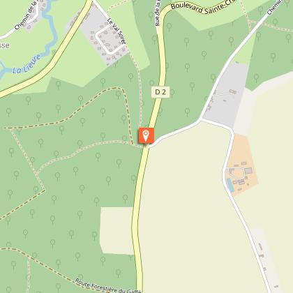
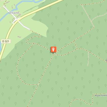
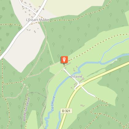
Map
Steps
Points of interest
Ratings and reviews
See around
Sentier de la Fontaineresse


Credit : ©DR
Description
In the heart of a village listed among the most beautiful villages of France, Lyons-la-Forêt invites you to explore its charming old streets lined with half-timbered houses from the 17th and 18th centuries and its main square with the covered market, a central point in village life.
Follow the Fontaineresse Path and enjoy the tranquillity of the state forest of Lyons, considered as one of the biggest beech groves in France with its 10,700 hectares.
Waymarks
Fédération Française de la Randonnée Pédestre
PR
Rectangle
yellow
Technical Information
Walking
Difficulty
Easy
Duration
2h
Dist.
6.3 km
Type of practice
Walking
Easy
2h
Mountainbiking
Medium
1h30mn
Show more
Altimetric profile
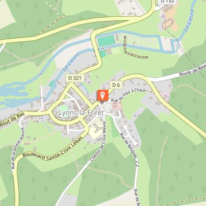
Starting point
Parking de la poste
,
LYONS-LA-FORET
Lat : 49.3995699323Lng : 1.4782832451708

Additional information
Contact
Tel : 02 32 49 31 65
Email : info@lyons-andelle-tourisme.com
Data author

proposed by
lyonslaforet-tourisme_wanadoo
Ratings and reviews
To see around