Alert
Alerts
Type of practice
Walking
Easy
1h30mn
Mountainbiking
Easy
45mn
Presentation
Description
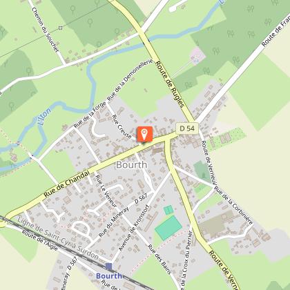
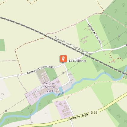
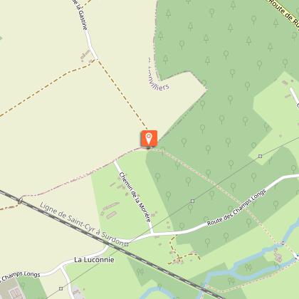
Map
Steps
Points of interest
Ratings and reviews
See around
Circuit du Pré Saulé


Credit : Iton_la_forge (2) © OT Normandie Sud Eure
Description
The village of Bourth was built along a Roman road on the bank of the river Iton. The walk will take you through the centre of the village with its beautiful houses and remnants of its industrial past. You will also follow paths in the Iton valley and in the forest of Bourth (600 ha), the green area of this little Noman village.
Waymarks
Fédération Française de la Randonnée Pédestre
PR
Rectangle
yellow
Technical Information
Walking
Difficulty
Easy
Duration
1h30mn
Dist.
5.7 km
Type of practice
Walking
Easy
1h30mn
Mountainbiking
Easy
45mn
Show more
Altimetric profile
Starting point
Place de l'église
,
BOURTH
Lat : 48.771130493854Lng : 0.80842436903375

Additional information
Contact
Tel : 02 32 32 17 17
Email : accueil@normandie-sud-tourisme.fr
Data author

proposed by
EUREKA, Agence d'Attractivité de l'Eure
26 rue Victor Hugo 27000 EVREUX
Ratings and reviews
To see around