Alert
Alerts
Type of practice
Walking
Easy
2h
Mountainbiking
Easy
1h
Presentation
Description
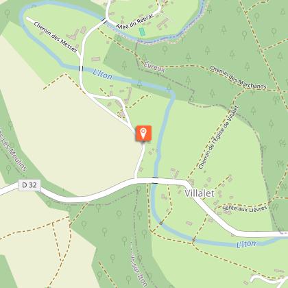
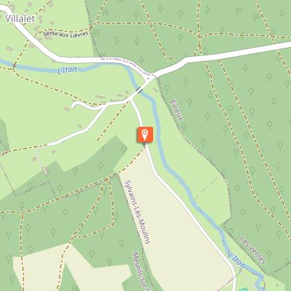
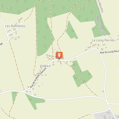
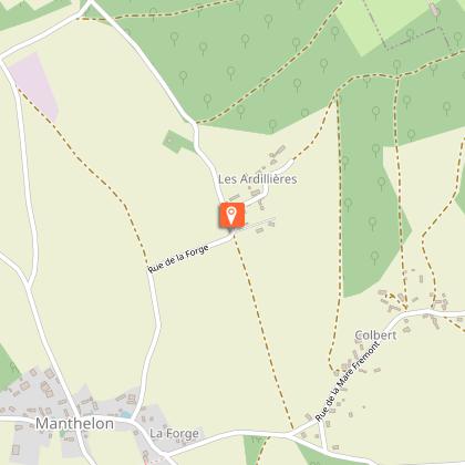
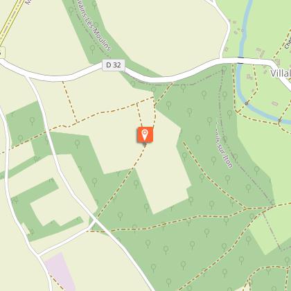
Map
Steps
Points of interest
Ratings and reviews
See around
Circuit des Rouliers


Credit : Les moulins-vannage © Caroline Ledoux
Description
A haven of peace at the bottom of the valley, visitors enjoy Villalet for its tranquillity and its intimate landscapes. The trail follows the footsteps of carters, called "Rouliers" in French, a term that described the man and its cart pulled by horses. You might have unexpected encounters: horse riders, startled deer behind a grove, etc.
Technical Information
Walking
Difficulty
Easy
Duration
2h
Dist.
6.7 km
Type of practice
Walking
Easy
2h
Mountainbiking
Easy
1h
Show more
Altimetric profile
Starting point
mairie de Villalet
,
SYLVAINS-LES-MOULINS
Lat : 48.930138111822Lng : 1.0552315761299

Additional information
Contact
Tel : 02 32 32 17 17
Email : accueil@normandie-sud-tourisme.fr
Markup
Full route : Hiking - Yellow
Data author

proposed by
EUREKA, Agence d'Attractivité de l'Eure
26 rue Victor Hugo 27000 EVREUX
Ratings and reviews
To see around