Alert
Alerts
Type of practice
Walking
Medium
1h30mn
Presentation
Description
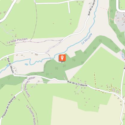
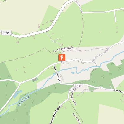
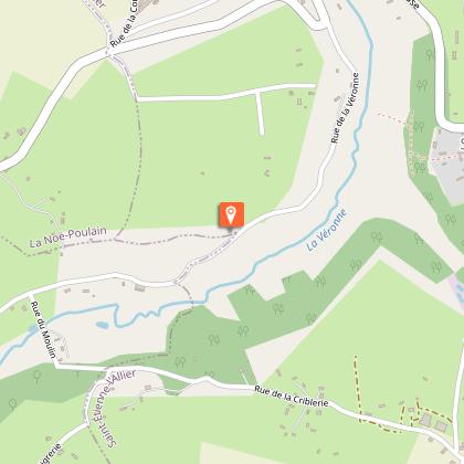
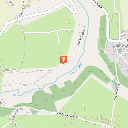
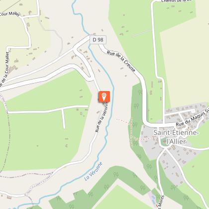
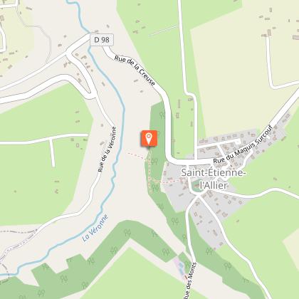
Map
Steps
Points of interest
Ratings and reviews
See around
Chemin du Caillou Marais


Credit : Enfant jouant sur la véronne © AM, OTLPA
Description
With its holloways and its abundant pastures, the Véronne valley is the perfect example of typical Norman bocage landscape. This short but very hilly walk crosses the river four times thanks to footbridges and follows its bank twice. In this green setting, tree is king, especially the impressive pollarded hornbeams and ash trees planted on the banks.
Technical Information
Walking
Difficulty
Medium
Duration
1h30mn
Dist.
4.4 km
Type of practice
Walking
Medium
1h30mn
Show more
Altimetric profile
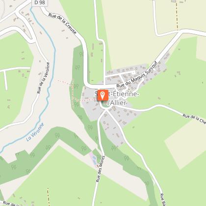
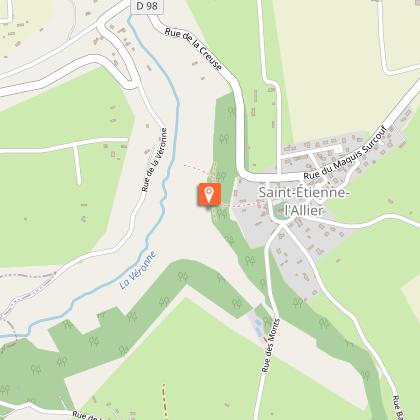
Starting point
parking de l'église
,
SAINT-ETIENNE-L'ALLIER
Lat : 49.26559094008Lng : 0.55196256573363

Additional information
Contact
Tel : 02 32 56 02 39
Email : tourisme@lieuvinpaysdauge.fr
Markup
Full route : Hiking
Data author

proposed by
EUREKA, Agence d'Attractivité de l'Eure
26 rue Victor Hugo 27000 EVREUX
Ratings and reviews
To see around