Alert
Alerts
Type of practice
Walking
Hard
2h15mn
Presentation
Description
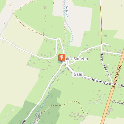
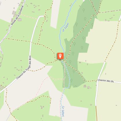
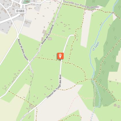
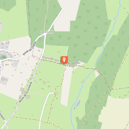
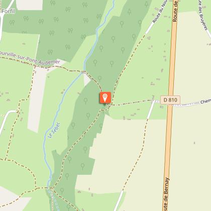
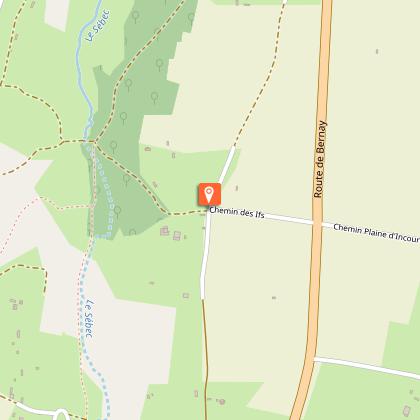
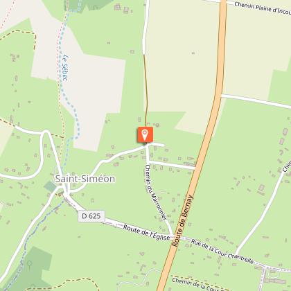
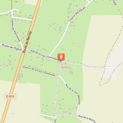
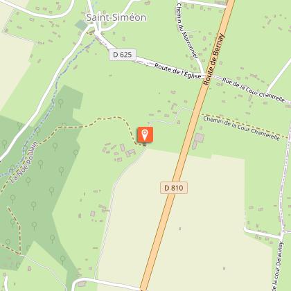
Map
Steps
Ratings and reviews
See around
Chemin des 4 Gués


Credit : Eglise de Saint-Siméon © MG, OTLPA
Description
In the peaceful Sébec valley, a small wild river that flows towards the Risle river, the waymarked path reveals an unspoilt bocage landscape: banks surmounted by hedgerows with pollarded trees which create holloways. This very hilly walk crosses the river four times thanks to footbridges or fords. You'd better wear good walking shoes to tackle the water and the stones!
Technical Information
Walking
Difficulty
Hard
Duration
2h15mn
Dist.
9 km
Type of practice
Walking
Hard
2h15mn
Show more
Altimetric profile
Starting point
parking de l'église
,
SAINT-SIMEON
Lat : 49.284807718383Lng : 0.5167882897015
Additional information
Contact
Tel : 02 32 56 02 39
Email : tourisme@lieuvinpaysdauge.fr
Markup
Full route : Hiking - Yellow
Data author

proposed by
EUREKA, Agence d'Attractivité de l'Eure
26 rue Victor Hugo 27000 EVREUX
Ratings and reviews
To see around